
Abingdon & Southwest Virginia
Aerial Photography & Drone Mapping in Abingdon, VA
Aerial photography and mapping for property, tourism, and infrastructure clients across Abingdon and Southwest Virginia.
- FAA Part 107 Licensed
- Fully Insured
- Safety Focused
Local Coverage
Drone Services in Abingdon
Abingdon and the surrounding Southwest Virginia countryside photograph beautifully from the air — historic downtown, the Creeper Trail corridor, farmland, and mountain property. We shoot all of it for real estate, tourism, and marketing clients.
The rural work here also includes practical documentation: farms and large acreage, utility corridors, right-of-way, and infrastructure that is difficult to inspect from the ground. All of it is flown under FAA Part 107 with commercial insurance in place.
- Historic downtown Abingdon
- Virginia Creeper Trail corridor
- Washington County farmland and acreage
- Interstate 81 commercial corridor
- Surrounding Southwest Virginia communities
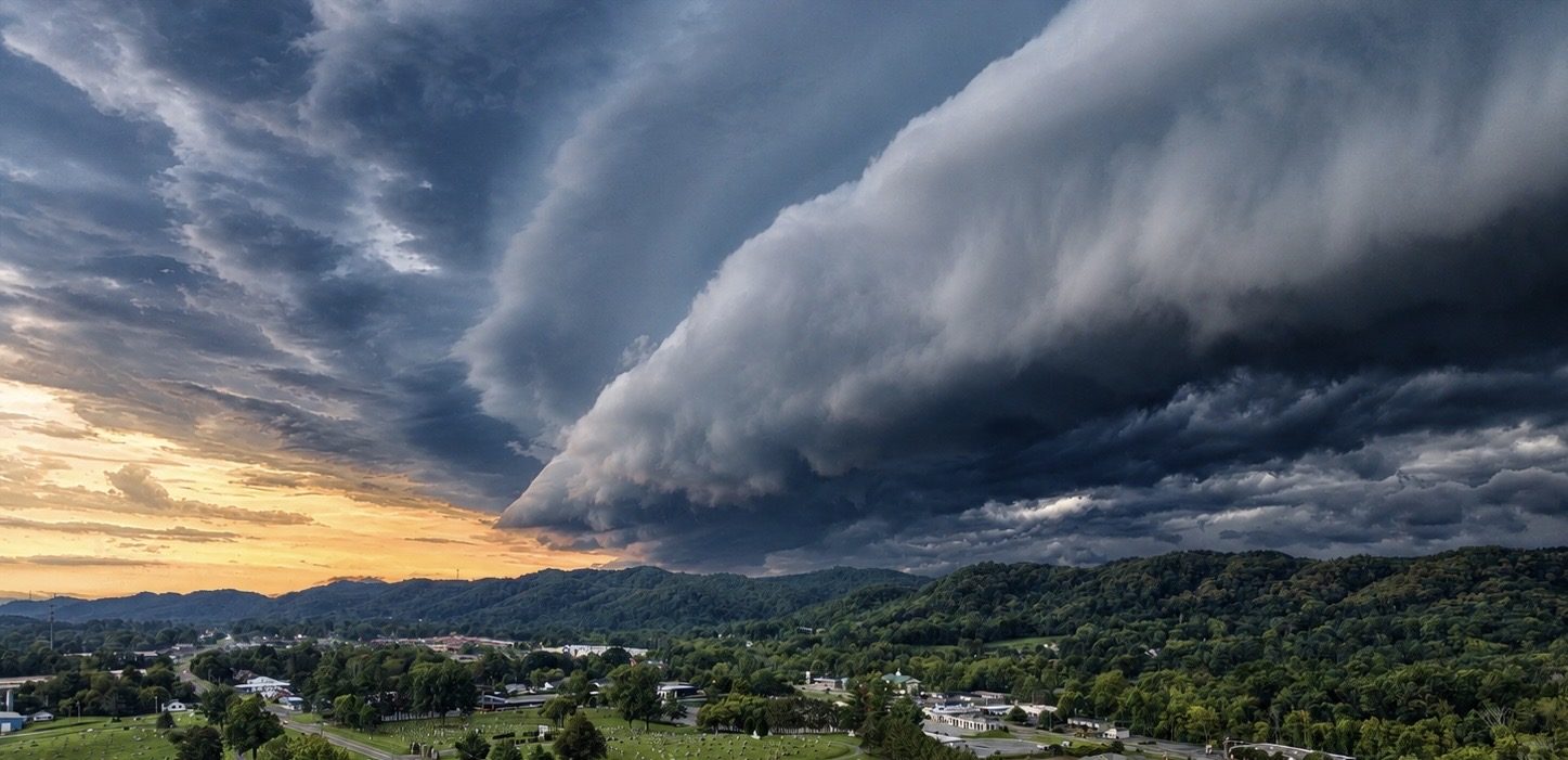
What We Shoot
Aerial Work We Do in Abingdon
Common projects for Abingdon clients. If your project isn't listed, ask — most aerial work is a variation of these.
Land, Farm & Acreage
Aerial imagery of farms, mountain property, and large tracts showing boundaries, access, terrain, and outbuildings.
Real Estate
Residential and commercial listing photography and video for agents and owners throughout Washington County.
Tourism & Hospitality
Destination, venue, and lodging imagery for tourism marketing and hospitality campaigns.
Infrastructure & Utility
Corridor, right-of-way, and asset documentation for utilities, contractors, and public agencies.
Also serving Bristol, VA, Damascus, Glade Spring, Marion and the wider Tri-Cities region. See the full service area or browse all services.
Aerial Data
Drone Mapping in Abingdon
Large rural tracts are difficult to understand from the ground. Aerial mapping around Abingdon is mostly acreage, farm, and corridor work — showing owners and buyers exactly what a property contains, in measurable form.
- Farm and acreage orthomosaics with visible boundaries and access
- Timber, pasture, and land-use documentation
- Utility corridor and right-of-way mapping
- Terrain models for rural site planning
Local Pricing
Mapping starts at $495 for land marketing and $995 for commercial site intelligence; construction progress starts at $650 per visit. Photography, inspection, and specialty work is quoted per project. Starting prices are guidance only — final quotes depend on scope, site access, airspace, schedule, requested deliverables, current operating costs, tariffs/import duties, and unforeseen conditions.
Get Started
Request a Abingdon Quote
Tell us the address and what you need the imagery for. We'll scope the flight, work around the weather, and get you files you can use. We reply by email — typically within one business day.