
Elizabethton & Carter County, TN
Aerial Photography & Drone Mapping in Elizabethton, TN
Drone photography, video, and site mapping for Elizabethton and Carter County property owners, agents, and contractors.
- FAA Part 107 Licensed
- Fully Insured
- Safety Focused
Local Coverage
Drone Services in Elizabethton
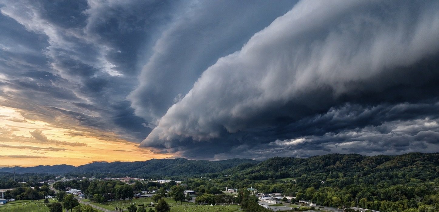
Elizabethton sits where the Doe and Watauga rivers meet, and much of the property here — riverfront lots, hillside homes, and land tracts backing up to the mountains — simply does not photograph well from the driveway. Aerial imagery is what makes the setting obvious.
We also cover practical Carter County work: land listings, small commercial buildings, storm and property damage documentation, and construction progress. Every flight is Part 107 compliant and insured.
- Downtown Elizabethton and Elk Avenue
- Watauga and Doe River frontage
- Carter County acreage and hillside tracts
- Highway 19E commercial corridor
- Approaches toward Roan Mountain and Hampton
What We Shoot
Aerial Work We Do in Elizabethton
Common projects for Elizabethton clients. If your project isn't listed, ask — most aerial work is a variation of these.
Riverfront & Hillside Property
Aerial stills and video showing river frontage, elevation, road access, and mountain backdrop that ground-level photos flatten out.
Land & Acreage Listings
Tract imagery for agents and owners marketing Carter County land — boundaries, clearings, timber, and outbuildings in one view.
Small Commercial & Downtown
Buildings along the downtown corridor and Elk Avenue photographed for leasing, sale, and business marketing.
Damage & Condition Records
Roof, storm, and flood-related aerial documentation organized into image sets for your records.
Also serving Johnson City, Hampton, Roan Mountain, Jonesborough and the wider Tri-Cities region. See the full service area or browse all services.
Aerial Data
Drone Mapping in Elizabethton
Steep, wooded, water-adjacent parcels are exactly where drone mapping outperforms guesswork. We produce measurable maps and terrain surfaces so owners and builders can see grade, clearing, and buildable area before they spend money on it.
- Orthomosaic maps of wooded and sloped tracts
- Terrain and elevation surfaces for site planning support
- Flood and erosion condition documentation along the rivers
- Progress mapping on Carter County build sites
Local Pricing
Mapping starts at $495 for land marketing and $995 for commercial site intelligence; construction progress starts at $650 per visit. Photography, inspection, and specialty work is quoted per project. Starting prices are guidance only — final quotes depend on scope, site access, airspace, schedule, requested deliverables, current operating costs, tariffs/import duties, and unforeseen conditions.
Get Started
Request a Elizabethton Quote
Tell us the address and what you need the imagery for. We'll scope the flight, work around the weather, and get you files you can use. We reply by email — typically within one business day.