jason@fly-TCA.comService Area: Tri-Cities

About

A Regional Drone Partner Built for Commercial Work

Tri-Cities Aerial Solutions was created to bring professional drone technology to businesses, contractors, and property owners throughout Northeast Tennessee and Southwest Virginia.

Request a Quote

Who We Are

Tri-Cities Aerial Solutions is a commercial drone services company based in the Tri-Cities region. We started the company because aerial imaging, mapping, and inspection work has become genuinely useful to the people building, managing, and maintaining property here — and that work deserves an operator who treats it as a professional service rather than a hobby.

We are FAA Part 107 licensed and fully insured. Every project is approached with safety, accuracy, professionalism, and attention to detail, whether it is a single set of listing photos or a recurring construction mapping program.

We are an ambitious local company, not a national franchise. Our aim is to become a trusted commercial drone provider across the region by doing careful work, communicating clearly, and expanding capabilities as demand justifies them. We would rather grow steadily with clients who come back than overstate what we can do today.

If your project needs something we cannot yet deliver safely and legally, we will tell you that directly and help you figure out the right path forward.

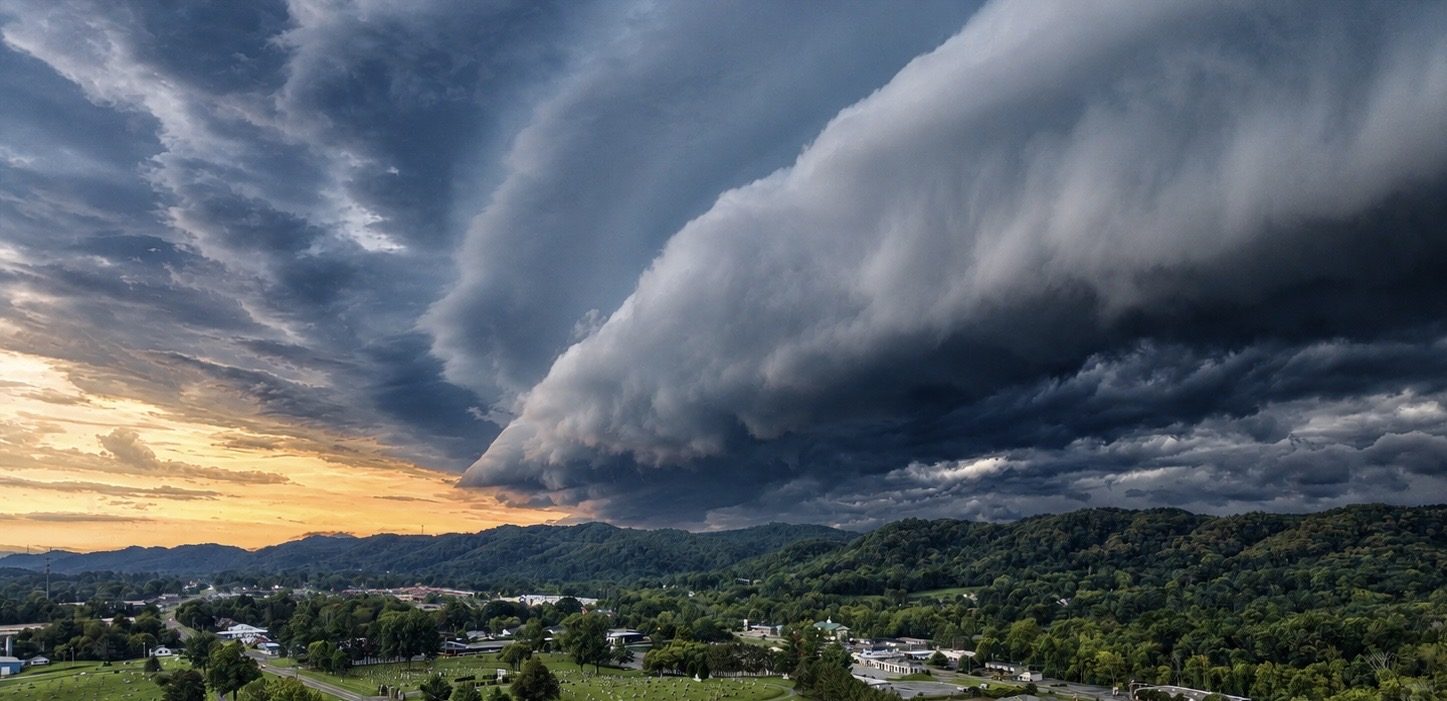
Storm clouds over the Tri-Cities valley at sunset, photographed by drone by Tri-Cities Aerial Solutions

Equipment

Aircraft, Positioning & Processing

Two enterprise aircraft on a shared platform, RTK positioning support, and in-house processing — chosen deliberately so we can deliver both site data and asset condition work ourselves.

Mapping & Photogrammetry

DJI Matrice 4E

Our primary mapping aircraft. It flies the photogrammetry missions behind every orthomosaic, point cloud, elevation model, and 3D reconstruction we deliver.

  • Wide-area mapping and progress documentation
  • Feeds orthomosaic, point-cloud, elevation, and 3D outputs
  • Repeatable flight plans for flight-to-flight comparison

Thermal Inspection & Advanced Imaging

DJI Matrice 4T

Our inspection aircraft captures visible and thermal imagery for roof, building, infrastructure, utility, facility, and inspection-support applications, with telephoto stand-off detail and laser rangefinding.

  • 48 MP wide, medium tele, and telephoto visible cameras
  • Thermal imager at 640×512 native, with super-resolution output up to 1280×1024
  • Spot and area temperature measurement
  • 168 mm-equivalent tele camera for stand-off visual inspection
  • Laser rangefinder up to 1,800 m under DJI's specified conditions
  • NIR auxiliary light for low-light operations

RTK Positioning Support

D-RTK 3

Deployed on site before mapping flights to provide consistent RTK positioning — the step that turns aerial photos into measurable, georeferenced data.

  • On-site base station setup on mapping missions
  • Consistent positioning between repeat flights
  • Supports the survey and engineering teams we work with

Data Processing & Delivery

In-House Processing Workstation

High-performance in-house processing workstations allow TCAS to process large photogrammetry datasets efficiently and deliver client-ready mapping, point-cloud, elevation, and 3D outputs without outsourcing routine processing.

  • Built for fast turnaround on large datasets
  • Optimized for demanding mapping workloads
  • Client-ready exports without outsourcing routine processing

How We Operate

What Guides Our Work

Professional Service

Clear scope, defined deliverables, and work handled the way a commercial client expects.

Modern Technology

Current drone platforms and photogrammetry workflows applied to practical business problems.

Local Service

We live and work in this region, so we know the terrain, the airspace, and the weather patterns.

Safety

Planning and risk assessment before every flight, with the judgment to stand down when needed.

Reliability

Dependable scheduling, responsive communication, and follow-through after delivery.

Growing Capabilities

We add equipment and services deliberately, and only advertise what we can actually deliver.

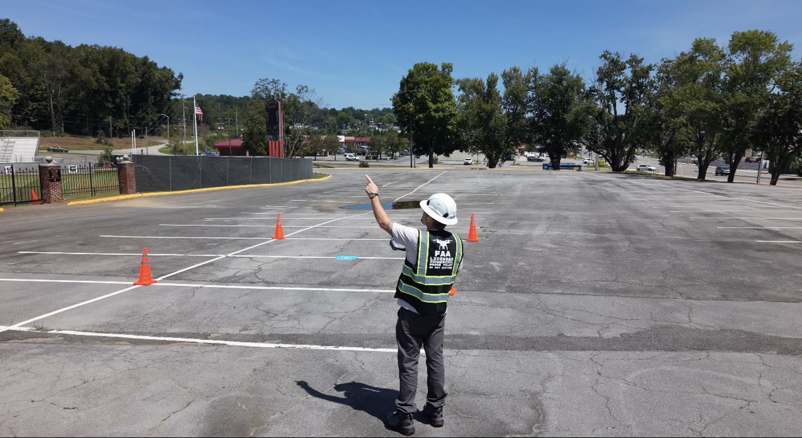
Drone pilot tracking the aircraft by eye, maintaining visual line of sight during a commercial flight
Visual line of sight maintained for the entire flight — the pilot keeps eyes on the aircraft, not just the screen.
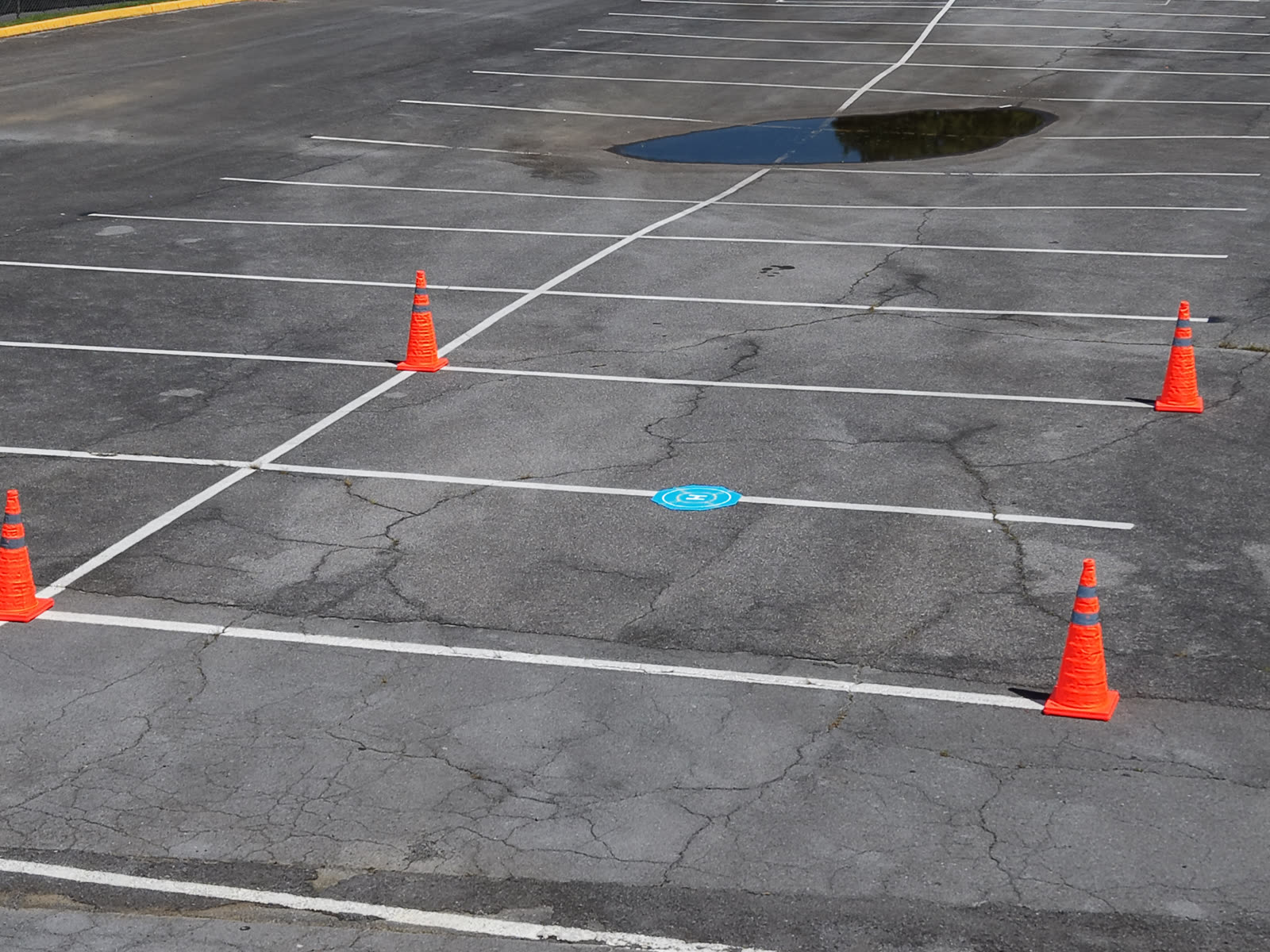
Aerial view of a marked drone landing pad surrounded by orange safety cones in a cordoned section of a parking lot
A marked launch and recovery pad with a cone perimeter keeps bystanders and vehicles out of the takeoff and landing zone.

Long-Term Relationships

Your Project Matters

Customer satisfaction is one of our highest priorities. We want to understand your objective, deliver something useful, and be the operator you call the next time a site needs documenting.

Contact Tri-Cities Aerial Solutions