
Wytheville & Wythe County, VA
Aerial Photography & Drone Mapping in Wytheville, VA
Aerial photography and site mapping for commercial, land, and infrastructure clients in Wytheville and Wythe County.
- FAA Part 107 Licensed
- Fully Insured
- Safety Focused
Local Coverage
Drone Services in Wytheville
Wytheville sits at the junction of I-77 and I-81, which shapes what gets shot here: hotels, travel plazas, distribution and logistics property, and highway-visible commercial buildings that market on location and access.
Away from the interstates it is farmland, mountain property, and utility corridors across Wythe County. We travel here regularly from Bristol, and every flight is Part 107 compliant and insured.
- I-77 and I-81 interchange corridor
- Downtown Wytheville and Main Street
- Wythe County farmland and acreage
- Industrial and distribution parks
- Surrounding mountain and rural property
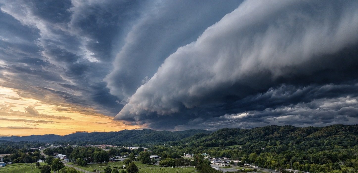
What We Shoot
Aerial Work We Do in Wytheville
Common projects for Wytheville clients. If your project isn't listed, ask — most aerial work is a variation of these.
Interstate Commercial Property
Hotels, travel centers, retail, and logistics property photographed to show interchange access and highway visibility.
Land, Farm & Mountain Property
Acreage and rural listings showing terrain, frontage, and access across Wythe County.
Industrial & Distribution Sites
Warehouse and distribution facility imagery for marketing, expansion planning, and records.
Infrastructure & Utility Corridors
Right-of-way, corridor, and asset documentation for utilities, contractors, and agencies.
Also serving Marion, Rural Retreat, Fort Chiswell, Abingdon, VA and the wider Tri-Cities region. See the full service area or browse all services.
Aerial Data
Drone Mapping in Wytheville
Interchange-area development and large rural tracts both benefit from measurable aerial data. We map parcels and corridors so owners, buyers, and engineers are working from current imagery rather than a years-old satellite pass.
- Development-parcel orthomosaics near the interchanges
- Corridor and right-of-way mapping
- Farm and acreage maps with terrain context
- Earthwork and stockpile volume documentation
Local Pricing
Mapping starts at $495 for land marketing and $995 for commercial site intelligence; construction progress starts at $650 per visit. Photography, inspection, and specialty work is quoted per project. Starting prices are guidance only — final quotes depend on scope, site access, airspace, schedule, requested deliverables, current operating costs, tariffs/import duties, and unforeseen conditions.
Get Started
Request a Wytheville Quote
Tell us the address and what you need the imagery for. We'll scope the flight, work around the weather, and get you files you can use. We reply by email — typically within one business day.