
Aerial Mapping & Photogrammetry
Orthomosaic site maps, 3D models, topographic data, and stockpile volumes for Bristol construction and development sites.
Bristol drone mappingBristol, TN & Bristol, VA
Aerial mapping, construction documentation, inspections, and commercial photography — flown by a Part 107 licensed, insured pilot based here in Bristol.
Local Operator
Not a regional outfit that drives in when the schedule allows.
Tri-Cities Aerial Solutions operates out of Bristol, so local jobs are a short drive rather than a travel day. That matters most on work that repeats — monthly construction progress flights, earthwork tracking, and weather-dependent documentation that has to be rescheduled on short notice.
Every Bristol flight is planned before the props spin: airspace around Tri-Cities Airport is checked and authorized where required, weather windows are confirmed, and site safety is briefed with your crew. We fly under FAA Part 107 and carry commercial drone insurance.
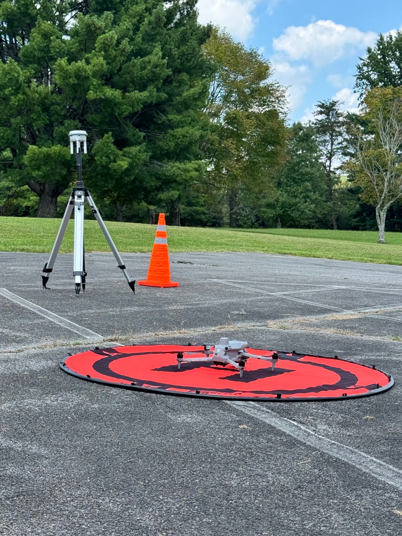
What We Fly
Every service below is available on both sides of State Street, in Bristol TN and Bristol VA.
Orthomosaic site maps, 3D models, topographic data, and stockpile volumes for Bristol construction and development sites.
Bristol drone mappingListing, property, and marketing imagery for commercial buildings, land, and homes across Bristol TN and VA.
Bristol aerial photographyRecurring flights from consistent viewpoints, building an owner-ready visual record from groundbreaking to closeout.
All servicesHigh-resolution imagery of roofs, façades, and rooftop equipment without unnecessary ladder or roof access.
Mapping & inspectionsDocumentation of bridges, corridors, towers, and municipal assets, flown within FAA rules and site safety requirements.
Industries we serveRapid aerial documentation after storms, flooding, or roof damage — organized image sets for your records.
Storm damage assessmentMapping packages start at $495 for land marketing and $995 for commercial site intelligence; construction progress programs start at $650 per visit. Photography, inspection, storm, and utility work is quoted per project. Starting prices are guidance only — final quotes depend on scope, site access, airspace, schedule, requested deliverables, current operating costs, tariffs/import duties, and unforeseen conditions.
Coverage
See the Work
Our Steele Creek Park orthomosaic was flown here in Bristol and published as a live interactive web map — open it before you book.
Get Started
Send the site location, what you need documented, and your timeline. We reply by email — typically within one business day.