
Construction Progress & Existing Conditions
Baseline the site before mobilization, then document each phase on a repeatable schedule owners and GCs can rely on.
Featured Mapping Project
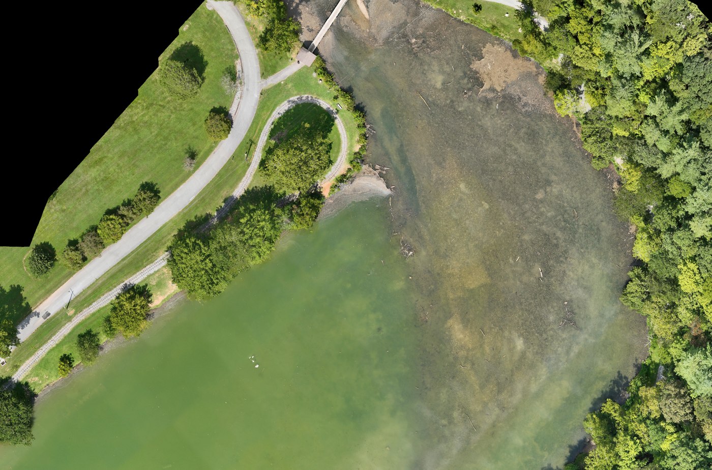
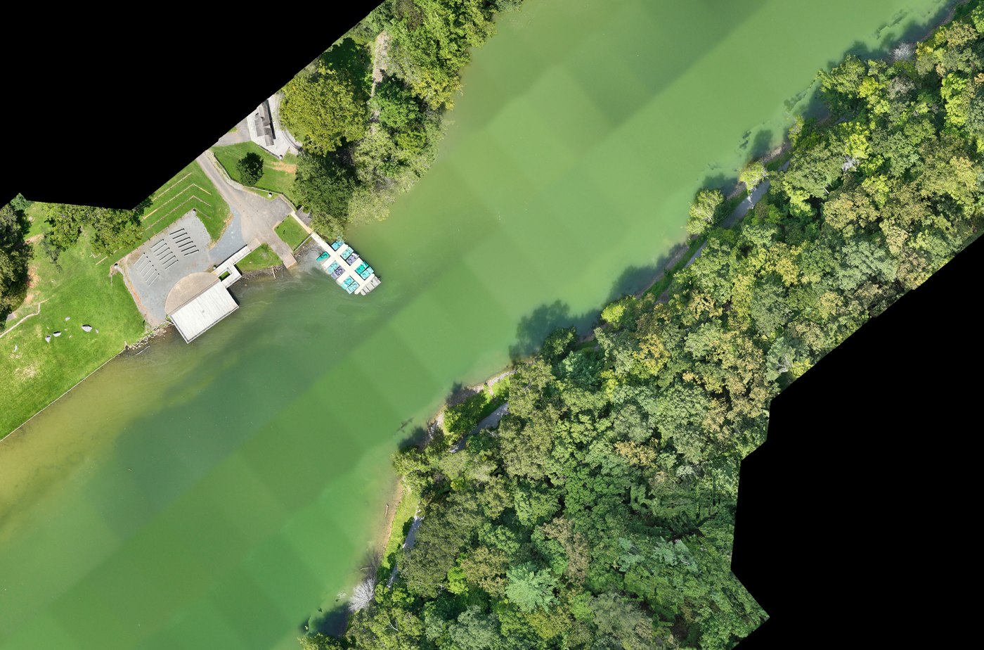
A real deliverable produced by Tri-Cities Aerial Solutions: hundreds of aerial images captured on a planned mission over Steele Creek Park in Bristol, Tennessee, processed into a georeferenced 2D orthomosaic and a textured 3D reconstruction. Both are shown below, interactive in your browser.
Interactive 3D Reconstruction
The imagery that produces the 2D orthomosaic above also reconstructs the site as a textured 3D model — orbit, zoom, and inspect structures and terrain from any angle, right in your browser.
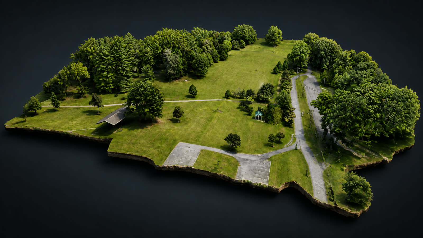 Real TCAS Reconstruction — Steele Creek Park
Interactive 3D Model
Textured photogrammetric reconstruction from our own mapping flight. It loads only when you choose to view it, so the rest of the page stays fast.
Drag to orbit • pinch or scroll to zoom • two-finger drag to pan
Works on iPhone, iPad, and desktop. The model is fetched only after you press “Load 3D Model”, so this page stays fast for everyone else.
From Flight to Decision-Ready Data
The imagery captured on a single planned mission is processed into distinct deliverables. Each one answers a different commercial question about the site.
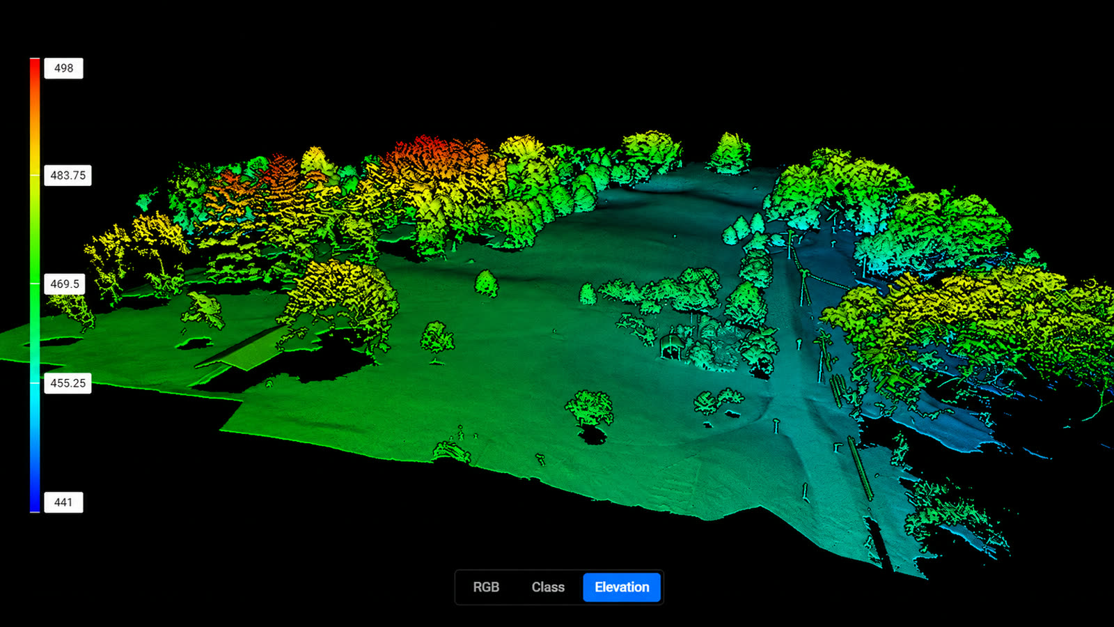 Steele Creek Park • Bristol, TN
A gridded elevation surface derived from the classified data — a digital surface or terrain model that shows how the site rises and falls. Useful for slope review, stockpile and volume estimates, and comparing conditions between flights.
Best for: slope and drainage review, volume estimates, and tracking how a site changes over the course of a project.
These photogrammetric products inform and support the work of licensed surveyors, engineers, and design professionals. They are not survey-grade, engineering certified, or a substitute for a licensed land survey.
Starting prices are guidance only. Final quotes depend on scope, site access, airspace, schedule, requested deliverables, current operating costs, tariffs/import duties, and unforeseen conditions.
Commercial Applications
The same capture and processing workflow applies across commercial and public-sector project types.
Baseline the site before mobilization, then document each phase on a repeatable schedule owners and GCs can rely on.
Current, accurate-looking overhead context for feasibility studies, layout options, and stakeholder presentations.
Imagery, point clouds, and surface data delivered in formats that support your licensed surveyors and engineers — not a replacement for them.
Corridor, substation, tower, and right-of-way documentation captured from a safe standoff distance.
Roofs, yards, parking, and building envelopes recorded for maintenance planning, capital budgeting, and insurance files.
Parks, roadways, drainage, and public works documentation that agencies and councils can review without specialist software.
About These Web Previews
Both demos on this page are compressed so they stream quickly on phones and laptops — image resolution, model geometry, and texture detail are all reduced for performance.
The original project files retain substantially higher detail and resolution than what is practical to display here. Full-resolution deliverables are provided to the client for project use — internal review, design and planning coordination, measurement and analysis workflows where appropriate, and delivery to your own customers or stakeholders. Output formats and processing details are agreed up front so the data fits the tools your team already uses.
In-house processing. High-performance in-house processing workstations — built for fast turnaround and optimized for demanding mapping workloads — allow TCAS to process large photogrammetry datasets efficiently and deliver client-ready mapping, point-cloud, elevation, and 3D outputs without outsourcing routine processing.
What This Demonstrates
The same workflow applies to construction sites, land development, utility corridors, and facility documentation.
Zoom from the whole site down to individual features without losing detail.
Switch between the orthomosaic and a basemap to place the site in context.
Delivered as a browser link — stakeholders open it on any device, no software.
The map is spatially aligned, so features stay in their real-world positions.
Get Started
Tell us the site, the schedule, and the deliverable. FAA Part 107 licensed and fully insured across Bristol TN/VA, Johnson City, Kingsport, and the surrounding region.