
Bristol TN/VA • Johnson City • Kingsport
Professional Drone Mapping, Inspection & 3D Deliverables
Serving Bristol, Johnson City, Kingsport, and the Tri-Cities region with aerial mapping, inspections, thermal imaging, and client-ready 2D, 3D, and web deliverables.
FAA Part 107 Licensed & Fully Insured
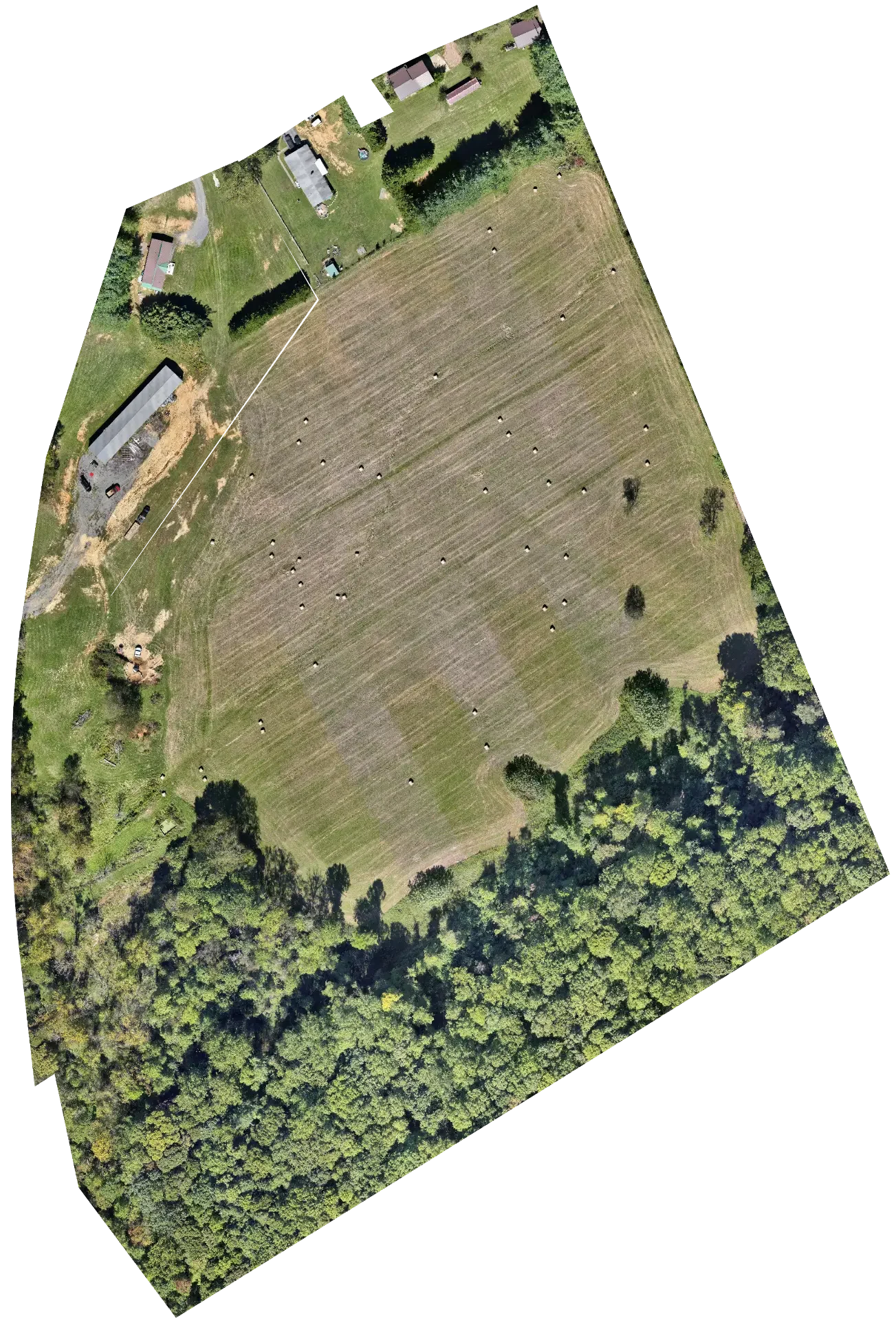
A real client-style deliverable — a georeferenced orthomosaic of Steele Creek Park in Bristol, produced from an actual TCAS mapping mission. Not a mockup or stock demo.
 Full Workflow Demo
Capability Demonstration
Aerial Mapping — From Flight Planning to Client-Ready Data
See the complete TCAS mapping workflow end to end: planned coverage before takeoff, high-resolution orthomosaic documentation, 3D context and elevation visualization from the same flight, and secure delivery through a private client portal.
- Flight planning with coverage and overlap controls
- High-resolution georeferenced orthomosaics
- 3D reconstruction and terrain visualization
- Secure, passcode-protected client delivery
Capabilities
Core Services
Commercial drone services for construction, infrastructure, facilities, and property across Northeast Tennessee and Southwest Virginia.
Aerial Mapping
Orthomosaics, site maps, terrain products, and repeatable aerial documentation.
Details3D Reconstruction
3D mesh, point cloud, and presentation-ready site models.
DetailsInspections
Roofs, structures, façades, infrastructure, and difficult-to-access assets.
DetailsThermal Imaging
Thermal and visual inspection for commercial and facility applications, plus drone-based Pet Search & Thermal Recovery.
DetailsConstruction Progress Monitoring
Repeatable flights and documented visual progress throughout the life of a project.
DetailsReal Estate & Marketing Media
Professional aerial photography, video, property context, and presentation materials.
DetailsVerified DJI Matrice 4T Capability
Thermal Inspection & Advanced Aerial Imaging
Tri-Cities Aerial Solutions uses the DJI Matrice 4T to capture visible and thermal imagery for roof, building, infrastructure, utility, facility, and inspection-support applications.
Comparing visible and thermal views can reveal temperature patterns and areas that warrant closer investigation while reducing unnecessary access to difficult or hazardous locations.
Real Matrice 4T field footage ready for upload
Primary: visible and thermal split-screen comparison
Real Matrice 4T field footage ready for upload
Secondary: thermal-only capture
- Roof & Building Thermal Documentation
- Electrical/Mechanical Heat-Signature Documentation
- Infrastructure & Facility Inspection Support
- Visible + Thermal Comparison
Thermal anomalies are indicators for further evaluation, not by themselves a diagnosis of a defect. Final diagnosis and repair decisions belong to the relevant qualified trade or professional.
Thermal Pet Search
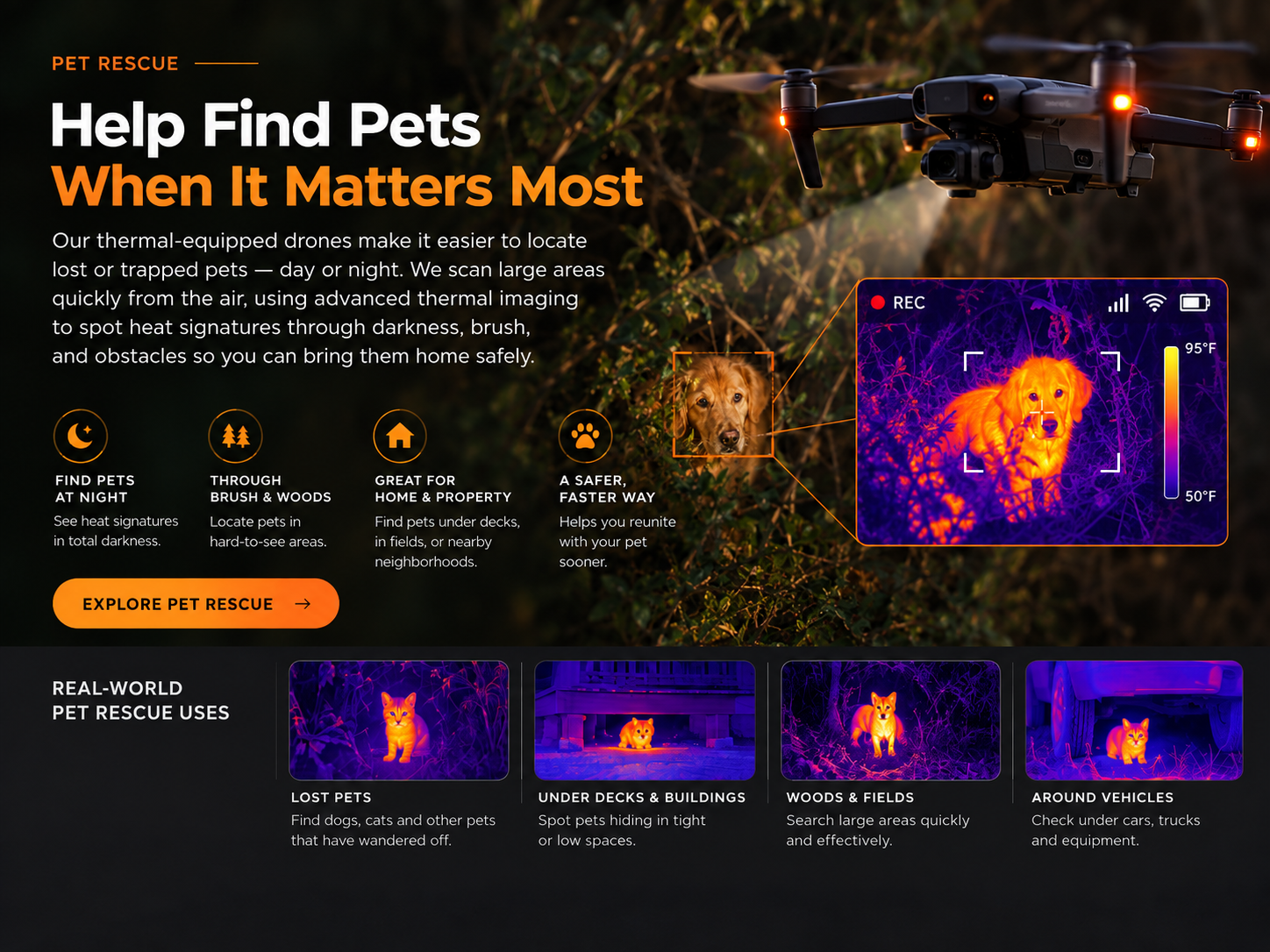
Help Find Pets When It Matters Most
Our thermal-equipped drones can help search for lost or trapped pets across woods, fields, large properties, neighborhoods, and other difficult-to-see areas. From the air, thermal imaging can identify heat signatures in darkness and challenging terrain, helping cover large areas efficiently when time matters.
Night Search
Thermal imaging can detect heat signatures in low-light and nighttime conditions.
Woods & Fields
Search brush, tree lines, open land, and difficult terrain from above.
Large-Area Coverage
Aerial searches can cover property much faster than searching entirely on foot.
Hard-to-See Locations
Useful for checking areas around buildings, outbuildings, vehicles, fields, and other possible hiding locations.
Results depend on weather, ground cover, terrain, and site conditions. Thermal imaging detects surface heat and cannot see through solid objects; a successful find cannot be guaranteed.
Request a Pet Search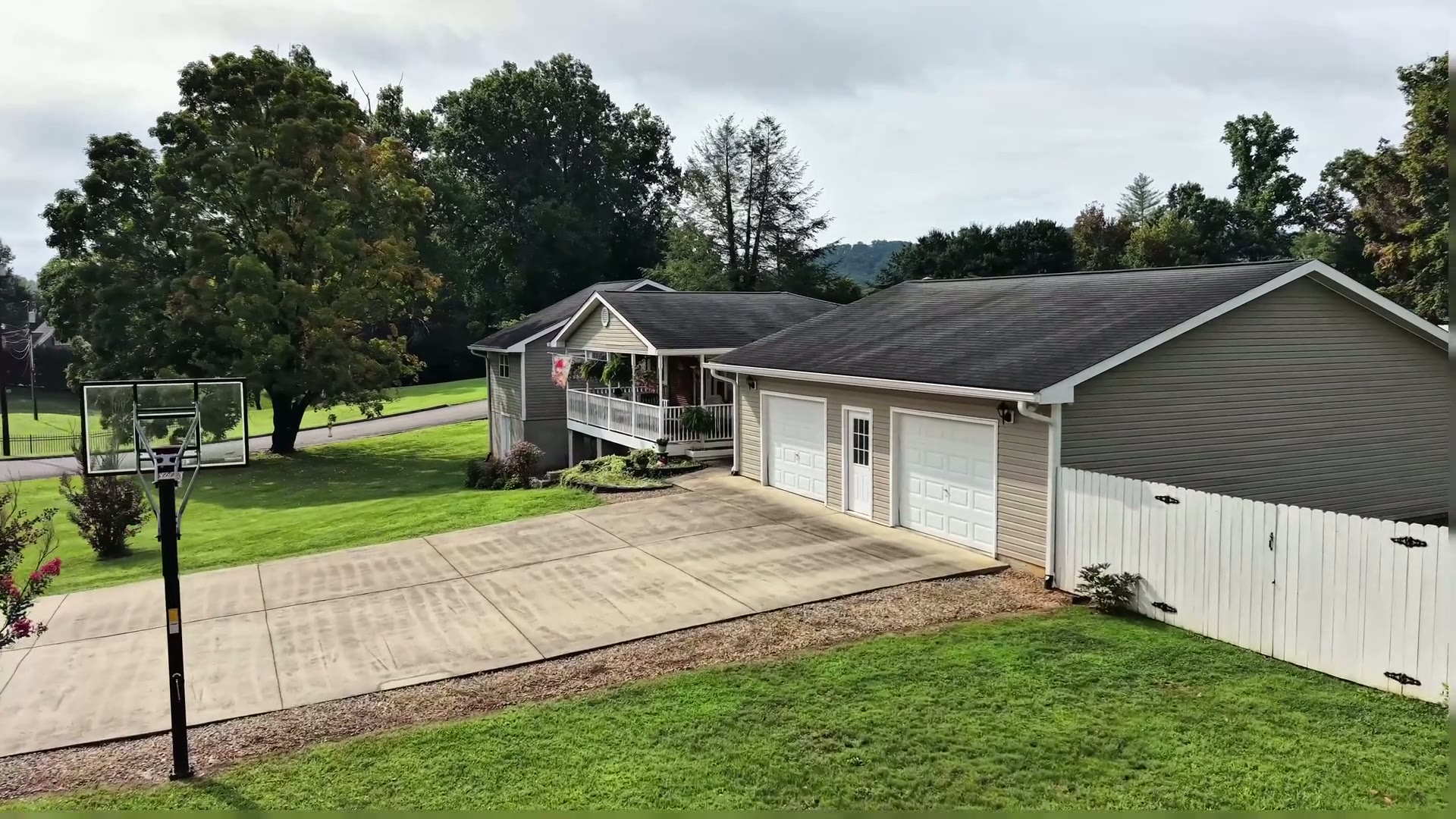
Realtors • Land Brokers • Developers
Real Estate & Property Presentation
Help buyers, owners, and stakeholders understand a property with professional aerial visuals, mapping, parcel context, and clear top-down presentation.
Orthomosaic imagery is a visual marketing and documentation tool — not a boundary survey or a substitute for licensed land surveying.
For Part 107 Pilots
Professional Drone Training Systems
TCAS offers workflow-based training built around real-world mission planning, capture, processing, quality control, and professional deliverables.
Get Started
Need Mapping, Inspection, or 3D Deliverables?
Tell us what you need and we'll recommend the right flight, workflow, and deliverable package.
FAA Part 107 licensed and fully insured — serving Bristol, Johnson City, Kingsport, and the Tri-Cities region.