
Interactive map
Navigate the site and inspect the area in context.
Tri-Cities Aerial Solutions / Mapping
From Flight Planning to Client-Ready Mapping Data
See how a planned drone mission becomes an interactive, measurable visual record of a site.
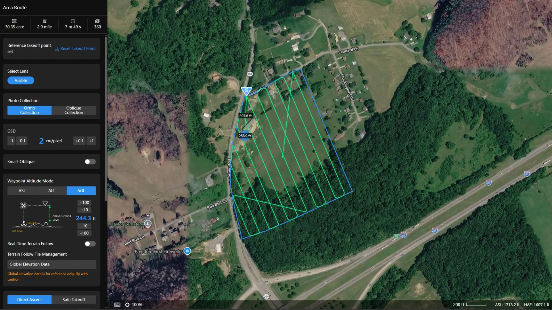
Mission planning
The route, image overlap, ground sampling distance, altitude, and coverage area are planned before flight to produce consistent photogrammetry data.
Orthomosaic mapping
Top-down stitched aerial imagery creates a georeferenced visual record for site documentation, planning, progress comparison, access review, and stakeholder communication.
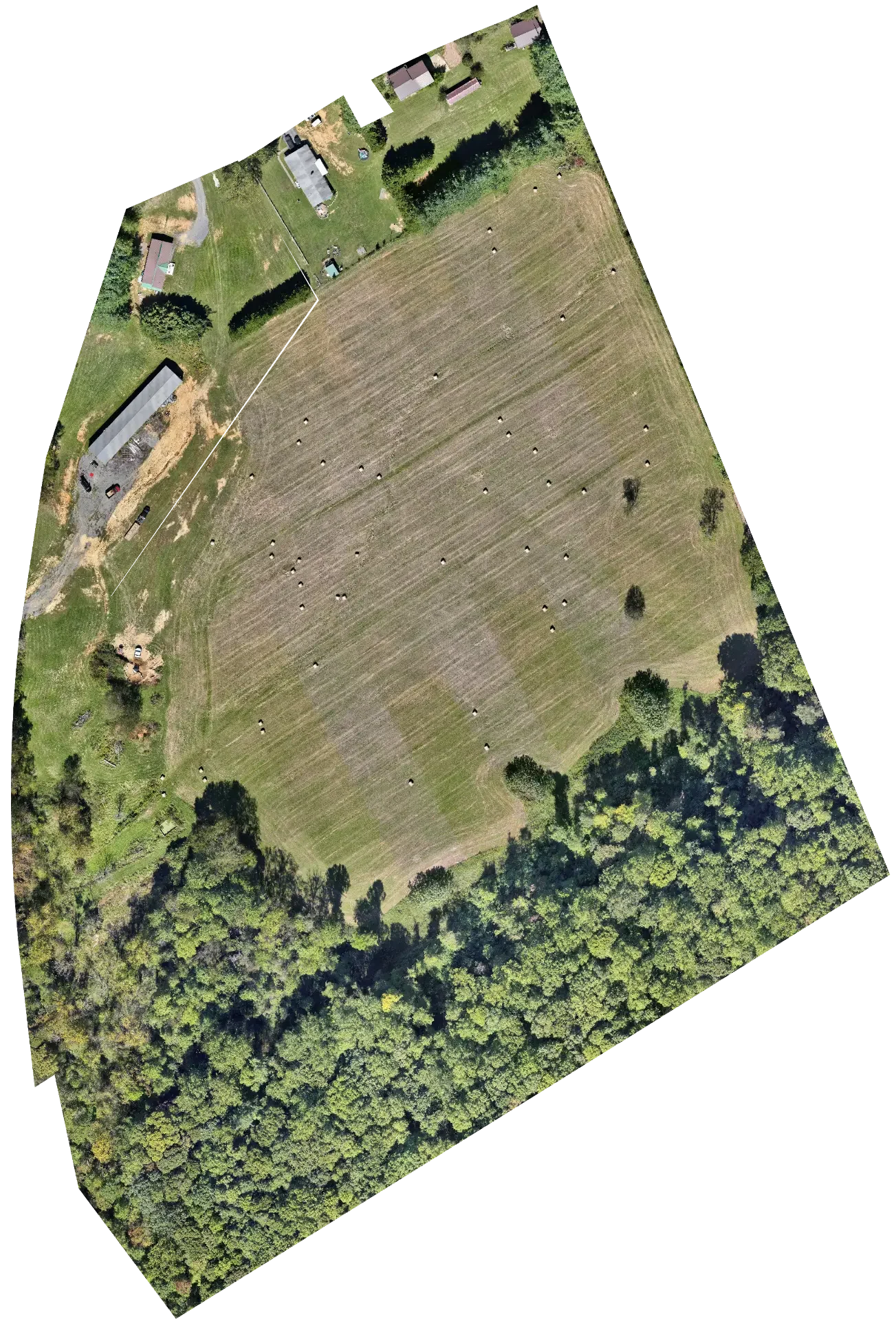
Individual captures become a continuous overhead image that can be reviewed alongside other site information.
Visual documentation, not a boundary survey
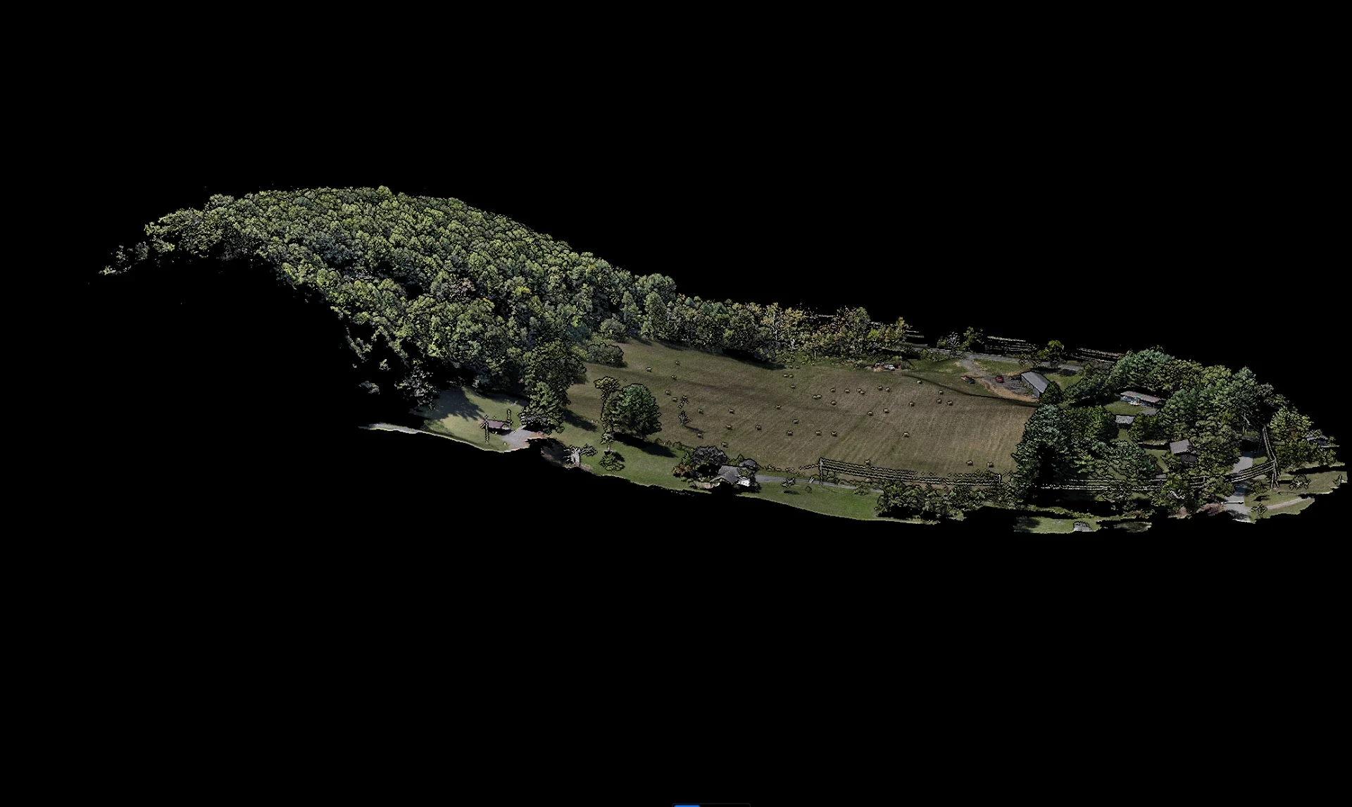
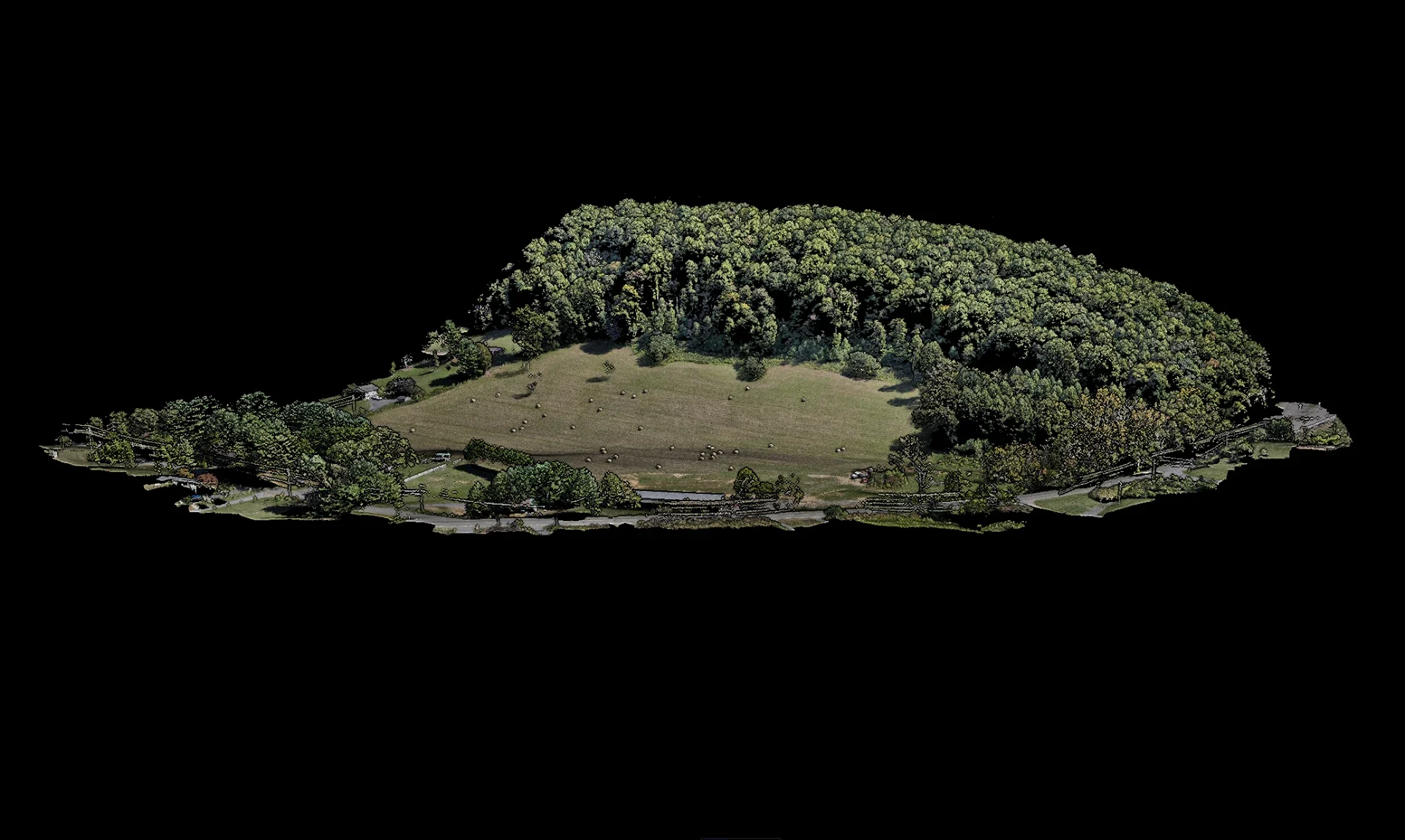
3D reconstruction
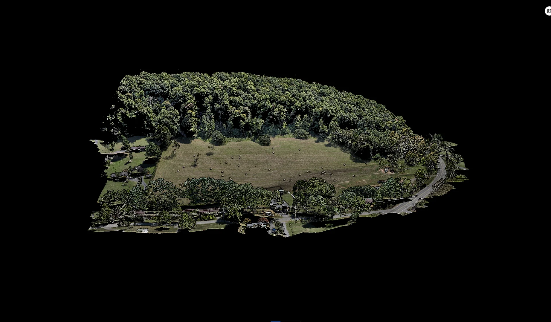
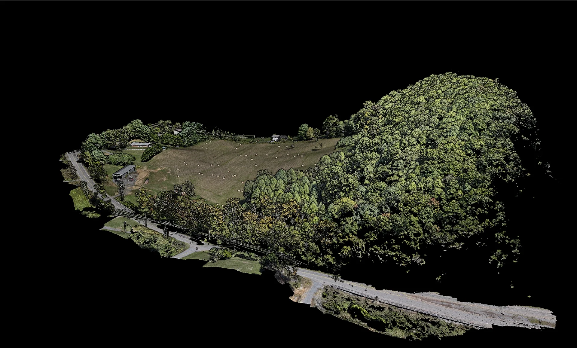
A textured reconstruction brings terrain, structures, access, and the surrounding site into view from multiple angles. These perspectives make spatial relationships easier to understand and communicate.
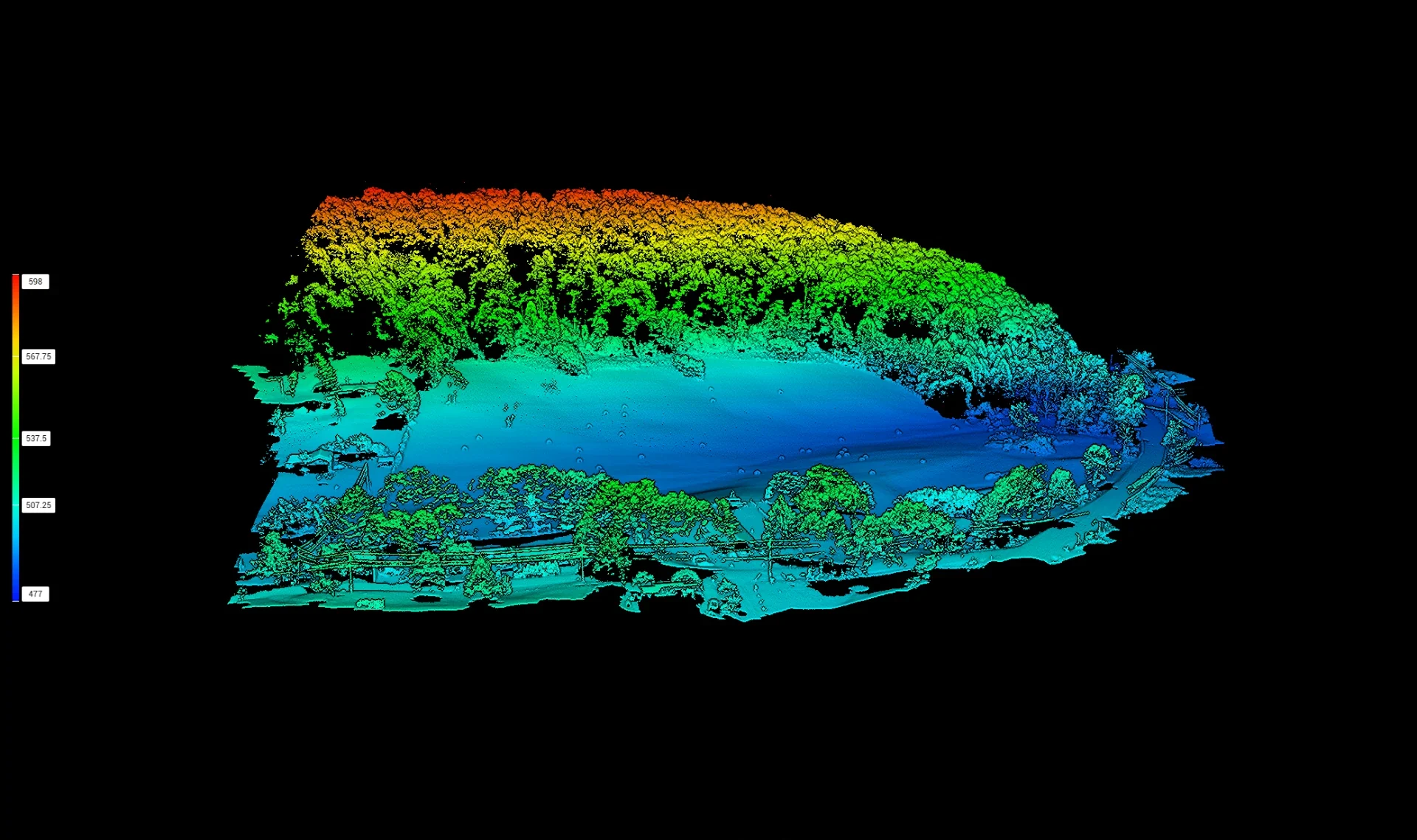
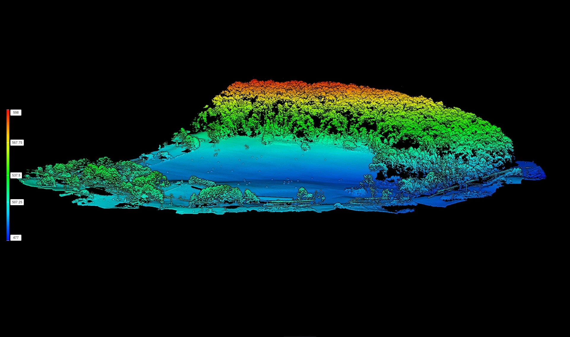
Terrain analysis
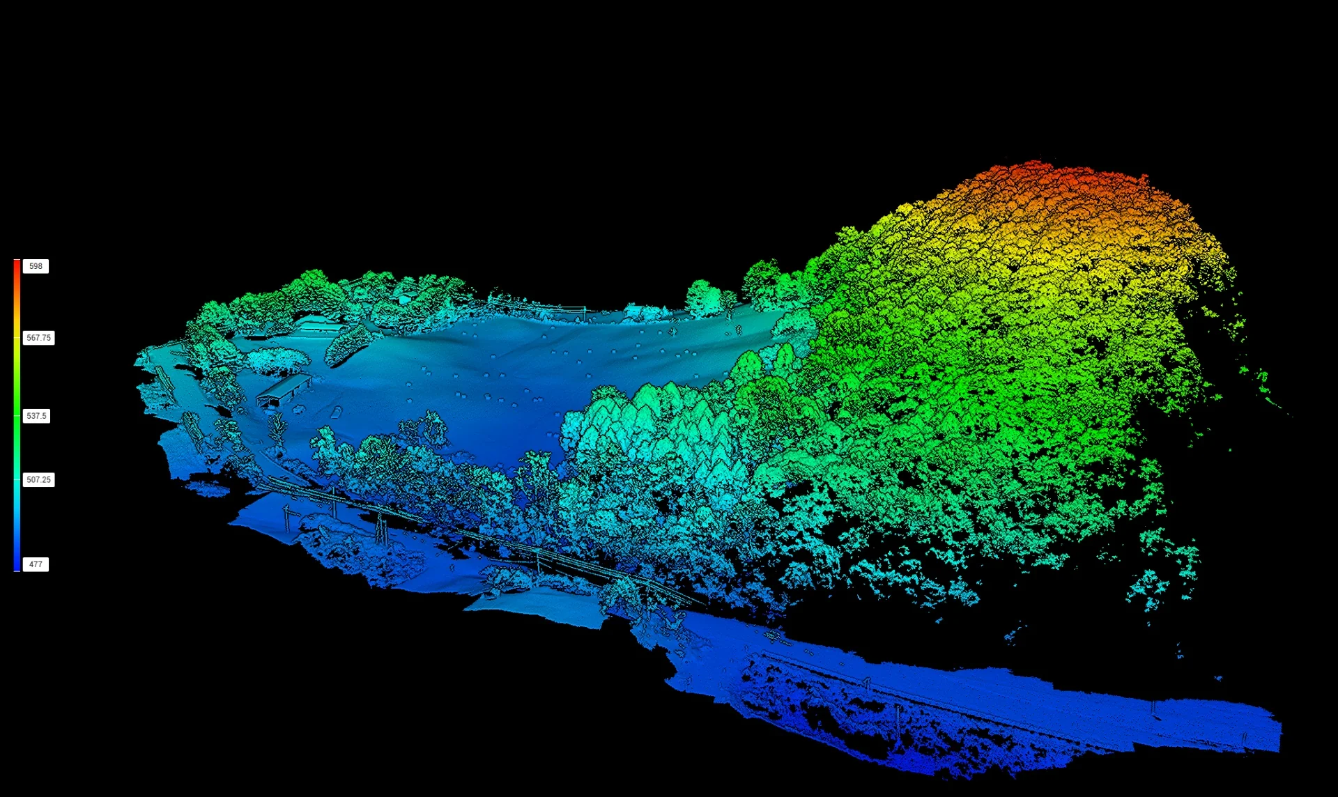
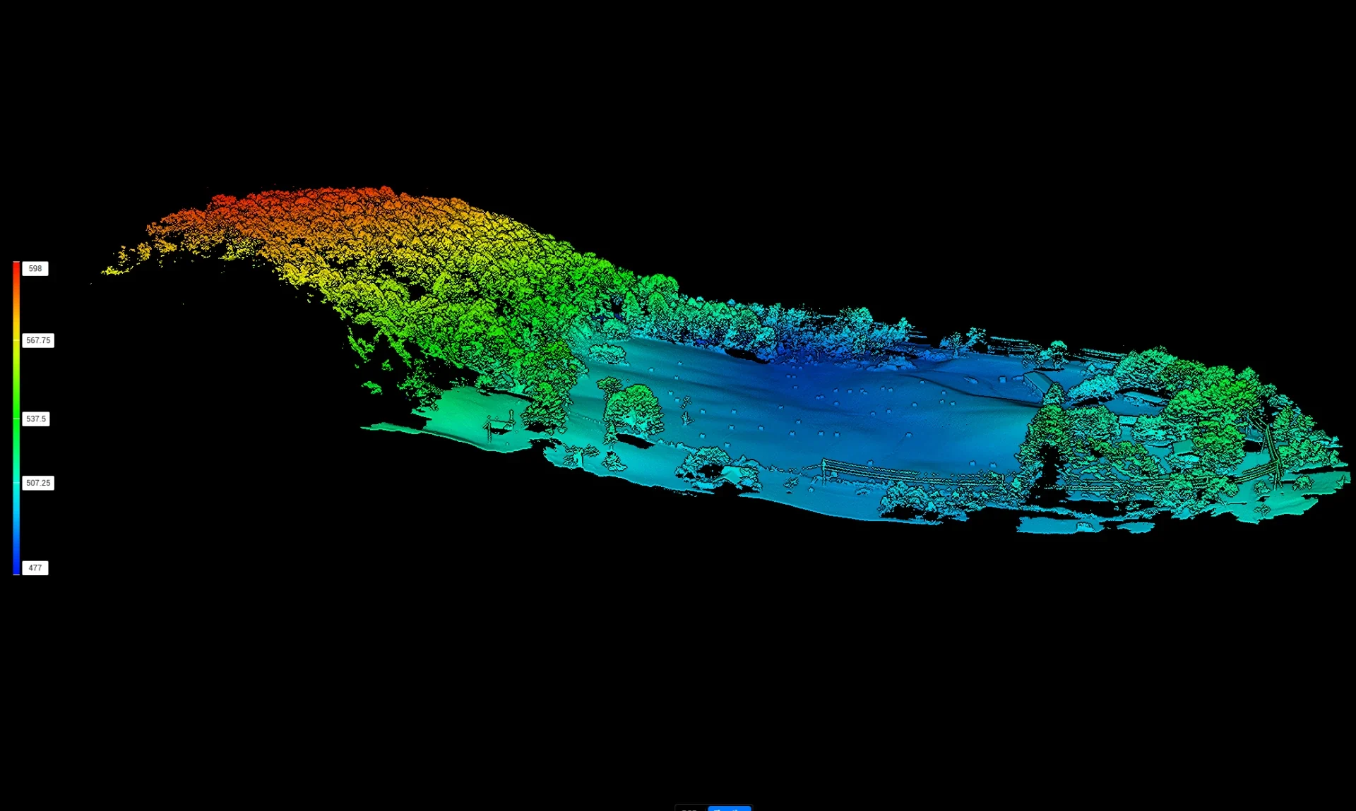
Colorized terrain views help reveal relative changes in the landscape and put the shape of a site into context for planning and review.
Elevation coloring and scale are presented as generated in DJI Terra.
Client delivery experience
The output is organized for review, not buried in a file transfer. Private client portals can be passcode-protected, with project files delivered through secure access.
Navigate the site and inspect the area in context.
Compare aerial imagery with a base map.
Show property or area overlays when appropriate.
Review multiple RGB and terrain perspectives.
Download agreed project deliverables.
Share project materials through a private client portal.
Applications
A clear visual record supports teams making decisions about land, assets, and progress.
Site documentation and visual context for property teams.
Planning support and repeatable progress records.
Visual reference data to support licensed professionals.
Asset documentation and inspection support.
Photogrammetric outputs are not a substitute for a licensed land survey or professional engineering services.
Start a conversation