
Rapid Response
Storm Damage Assessment
Aerial documentation after severe weather across Bristol TN/VA, Kingsport, Johnson City, and Southwest Virginia — roofs, utility lines, flooding, washouts, and access, captured quickly and safely.
Request a QuoteReal Work
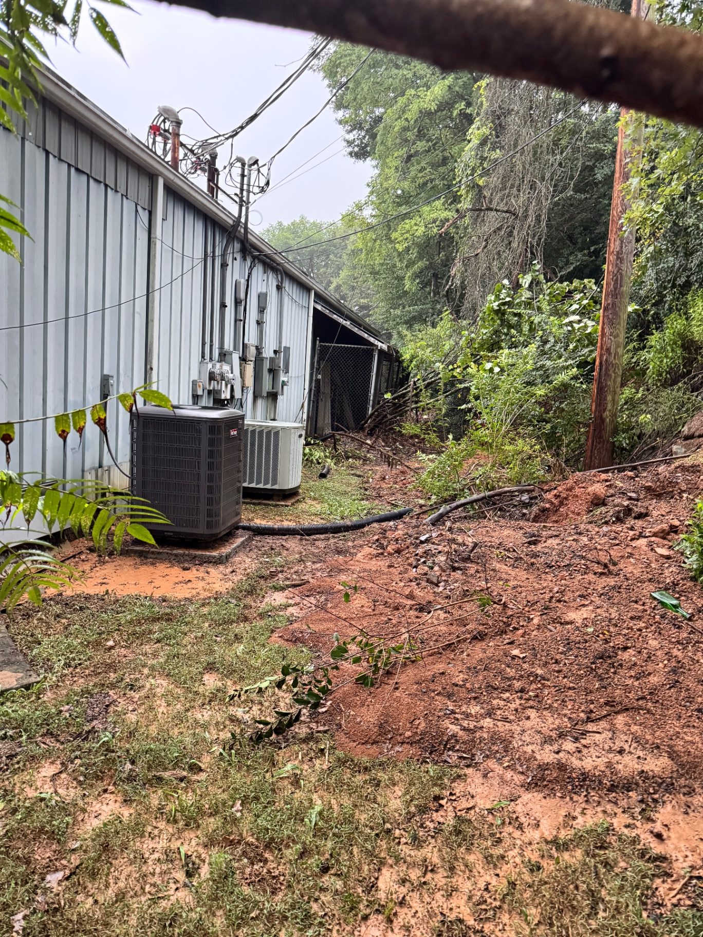
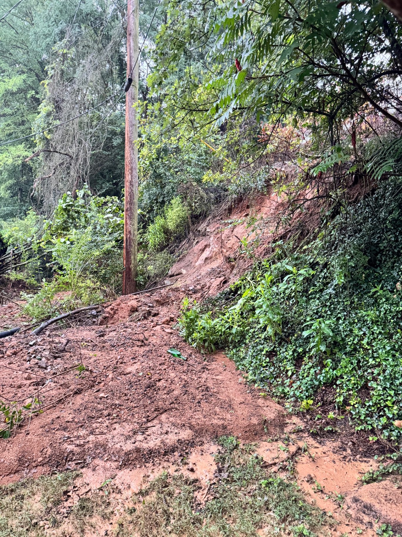
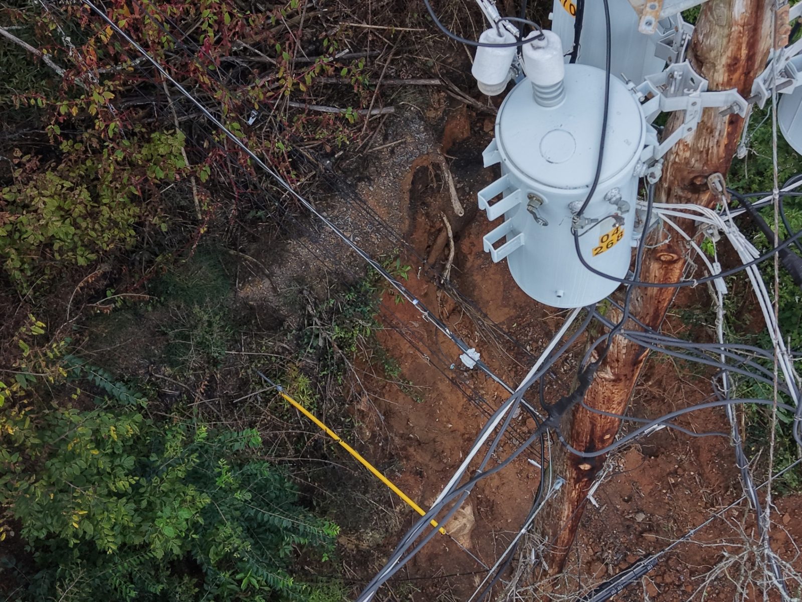
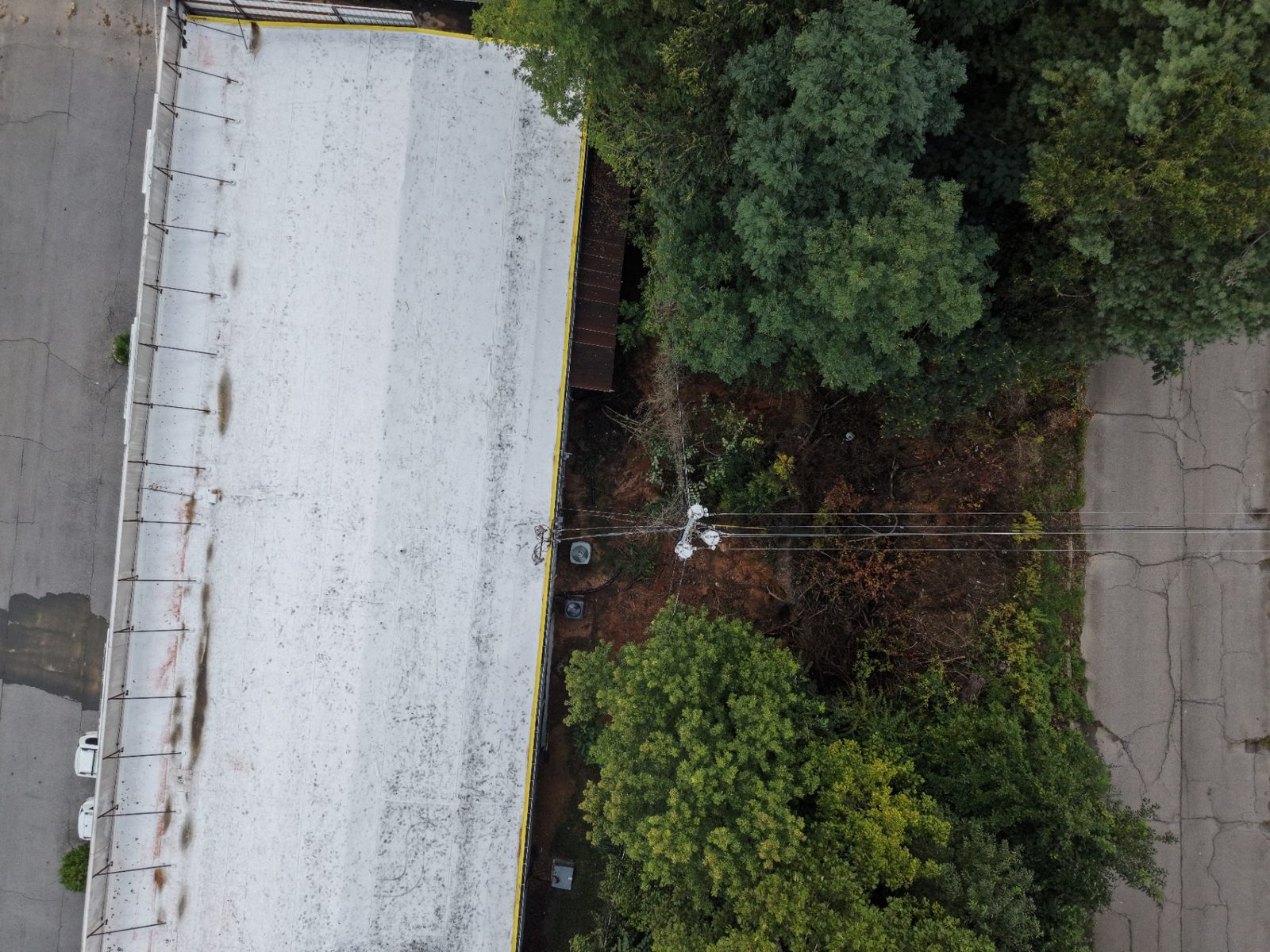
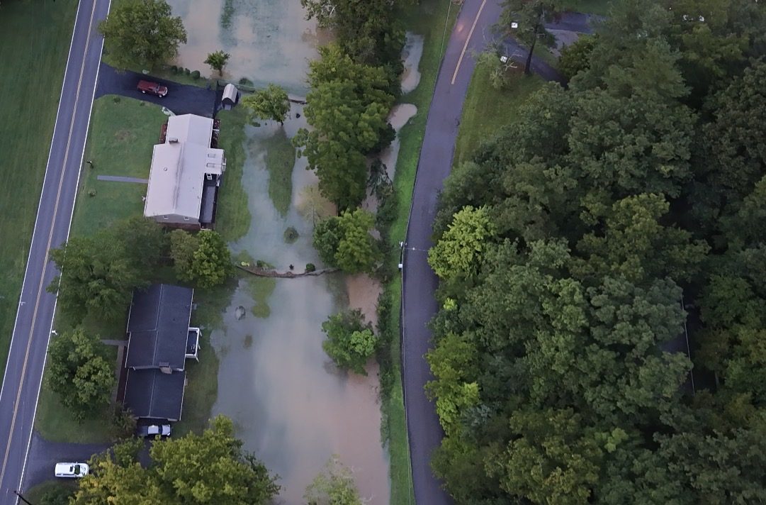
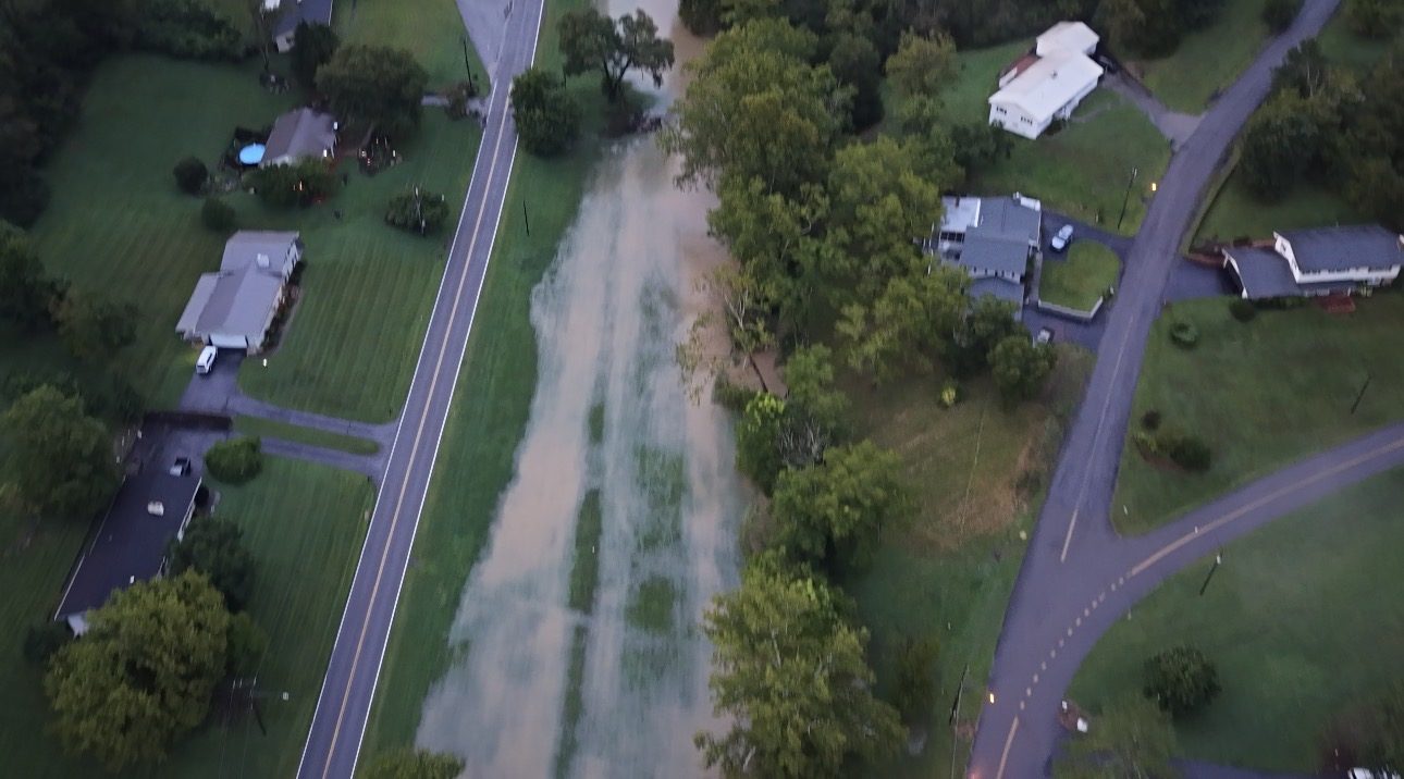
From a Recent Tri-Cities Storm & Flood Response
Every photo and clip below is ours, flown on site. No stock imagery.
Scope
What We Document
- Roof and structure damage on commercial and residential buildings
- Downed power lines, leaning poles, and pole-top equipment
- Flooding, high water, and washed-over roads and right-of-way
- Erosion, slope failure, landslides, and washouts
- Blocked access roads, driveways, and right-of-way corridors
- Debris fields and staging areas for cleanup planning
- Drainage failure and standing water across a site
Who It's For
Built for the People Cleaning Up
Property & Facility Owners
Documented conditions the day after the storm, before cleanup changes the scene.
Roofing & Restoration Contractors
High-resolution roof imagery for scoping and bidding without putting a crew on the roof.
Insurance & Adjuster Support
Clear, time-stamped aerial imagery to support a claim file.
Utilities & Municipalities
Corridor, pole, and access documentation across damaged areas.
Storm Response Pricing
No fixed public rate applies to this work. Starting prices are guidance only. Final quotes depend on scope, site access, airspace, schedule, requested deliverables, current operating costs, tariffs/import duties, and unforeseen conditions.
Operations
Fast, Legal, and Safe
Post-storm sites are hazardous. Drone documentation keeps people off compromised roofs and away from energized lines while still producing detailed imagery.
- FAA Part 107 licensed and fully insured
- Airspace checks and authorizations before every flight
- No ladder, roof, or bucket-truck access required
- Typically on site within days of the event, weather permitting
We provide imagery and documentation only. We do not act as an insurance adjuster, contractor, or licensed engineer.
Request Storm Documentation