
Johnson City, TN
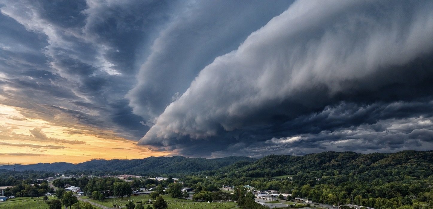
Aerial Photography & Drone Mapping in Johnson City, TN
Real estate, campus, and development aerial photography and mapping in Johnson City from a licensed, insured commercial pilot.
- FAA Part 107 Licensed
- Fully Insured
- Safety Focused
Local Coverage
Drone Services in Johnson City
Johnson City is the busiest real estate market in the Tri-Cities, and aerial imagery is often what separates a listing that scrolls past from one that gets a showing. We shoot homes, acreage, commercial buildings, and multi-family developments here regularly.
We also work with campuses, medical facilities, and developers who need clean documentation of existing conditions and ongoing construction. Every flight is Part 107 compliant and covered by commercial insurance.
- Downtown Johnson City
- Med-Tech and university corridor
- North Roan and Boones Creek commercial areas
- Residential neighborhoods and acreage tracts
- Washington County development sites
What We Shoot
Aerial Work We Do in Johnson City
Common projects for Johnson City clients. If your project isn't listed, ask — most aerial work is a variation of these.
Residential Real Estate
Listing photos and cinematic video that put the home in context — lot lines, acreage, mountain views, and neighborhood.
Commercial & Multi-Family
Apartment communities, office and retail buildings, and mixed-use developments captured for marketing and leasing.
Campus & Institutional
Schools, medical facilities, and institutional campuses documented for planning, capital projects, and communications.
Development Sites
Raw land, grading, and site progress imagery for developers, engineers, and contractors.
Also serving Jonesborough, Elizabethton, Kingsport, Bristol and the wider Tri-Cities region. See the full service area or browse all services.
Aerial Data
Drone Mapping in Johnson City
Development pressure around Boones Creek and the university corridor means a lot of grading, subdividing, and site planning. Drone mapping gives those teams current, measurable imagery instead of an outdated aerial from a public map service.
- Pre-construction existing-condition orthomosaics
- Topographic surfaces and contour data for planning support
- 3D models of campus and multi-family sites
- Monthly progress maps through the build
Local Pricing
Mapping starts at $495 for land marketing and $995 for commercial site intelligence; construction progress starts at $650 per visit. Photography, inspection, and specialty work is quoted per project. Starting prices are guidance only — final quotes depend on scope, site access, airspace, schedule, requested deliverables, current operating costs, tariffs/import duties, and unforeseen conditions.
Get Started
Request a Johnson City Quote
Tell us the address and what you need the imagery for. We'll scope the flight, work around the weather, and get you files you can use. We reply by email — typically within one business day.