
Johnson City, TN
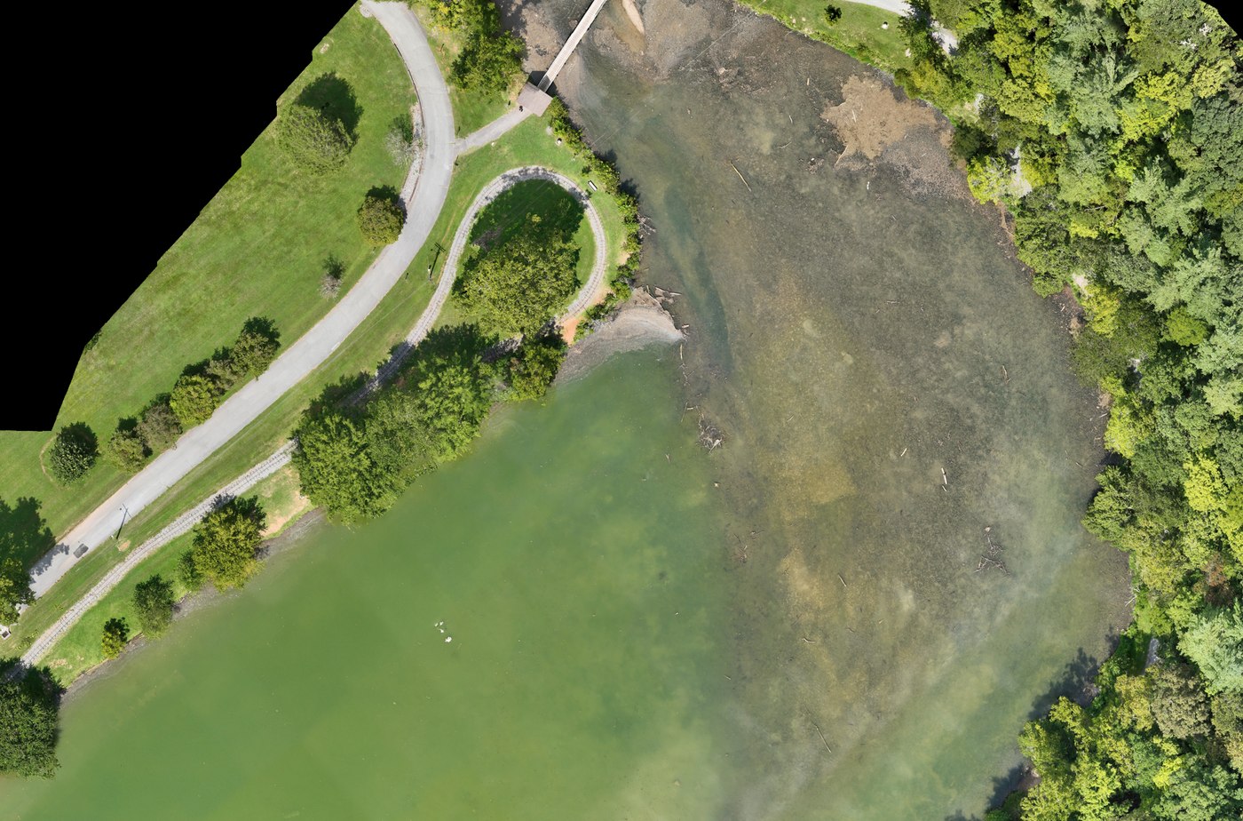
Aerial Mapping & Drone Surveys in Johnson City, TN
Orthomosaics, 3D models, and measurable site data for Johnson City development sites, campuses, and construction projects.
- FAA Part 107 Licensed
- Fully Insured
- Safety Focused
Local Mapping
Drone Mapping in Johnson City
Johnson City work tends to be development-driven: commercial pads, campus expansion, multi-family sites, and road and utility projects that change week to week. A mapping flight gives everyone on the project the same current, measurable picture of the ground instead of a set of loose phone photos.
Missions are flown as planned grids at fixed altitude with consistent overlap, then processed into orthomosaics, surfaces, and models your team can measure from. Every flight is operated under FAA Part 107 with commercial insurance, and airspace is checked and authorized before launch.
Johnson City is roughly half an hour from our Bristol base, which keeps recurring progress programs practical — the same flight plan, flown from the same viewpoints, month after month.
Deliverables
What Johnson City Clients Receive
Measurable data products, not just imagery. Files are delivered in formats your team can open and work from.
Orthomosaic Site Maps
One georeferenced top-down image of the entire Johnson City site, at resolution you can measure distances and areas from.
3D Models & Point Clouds
Site models and point clouds for design coordination, presentations, and stakeholder review.
Topographic & Elevation Data
Digital surface models and contours supporting grading, drainage, and site planning.
Progress & Volume Reporting
Repeat flights for construction progress records, plus cut, fill, and stockpile volumes for earthwork tracking.
Drone mapping supports surveyors, engineers, and contractors. It does not replace licensed land surveying.
Who We Fly For
Johnson City Mapping Clients
- Developers and general contractors on Johnson City projects
- Civil engineers needing current existing-condition data
- Campus, healthcare, and institutional facility teams
- Commercial brokers and land owners
- Municipal and utility project managers
Related
Also Available Here
Need marketing imagery rather than data? We shoot aerial photography and video in Johnson City as well.
Mapping Pricing
From $995Starting prices are guidance only. Final quotes depend on scope, site access, airspace, schedule, requested deliverables, current operating costs, tariffs/import duties, and unforeseen conditions.
Get Started
Request a Johnson City Mapping Quote
Send the site location, rough acreage, and the deliverables you need. We reply by email — typically within one business day.