← All capabilities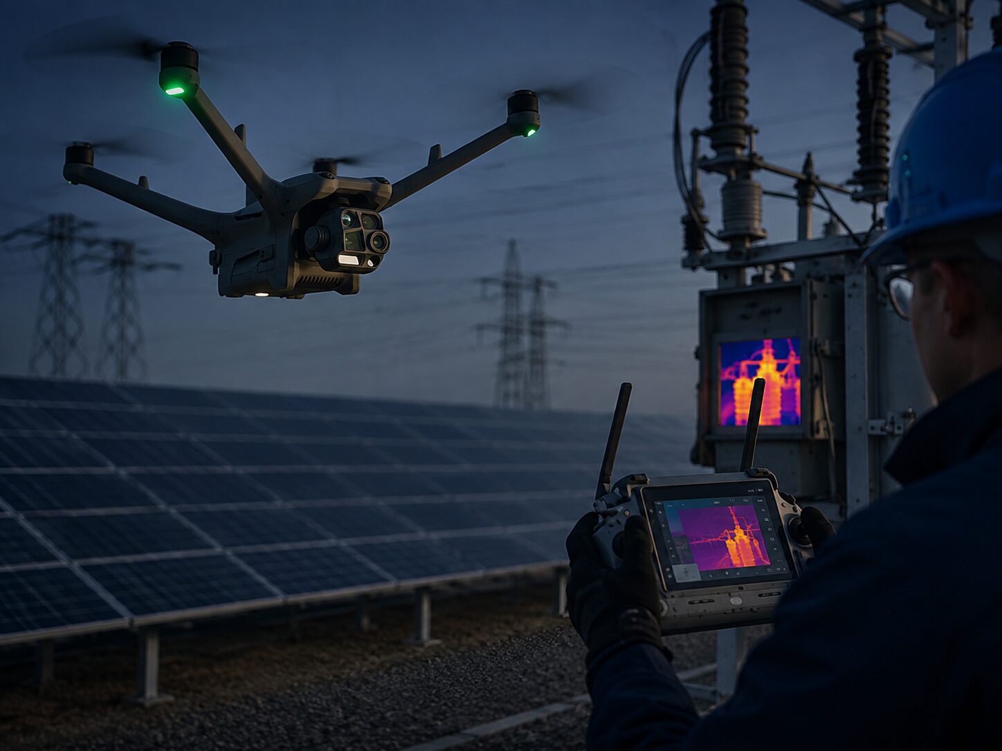
Infrastructure documentation
Infrastructure & field support
A local field partner for your team.
Aerial data and visual documentation for utilities, telecom, engineers, surveyors, contractors and public agencies. Available for individual projects and regional subcontract support.
- Utilities, energy assets, towers and corridors
- Bridges, roads, facilities and municipal assets
- Existing-condition and project documentation
- Data collection aligned with your team’s workflow
Documentation and data support; licensed engineering and surveying remain with the responsible professionals.
Northeast Tennessee · Southwest VirginiaReturn to homepage ↗