← All capabilities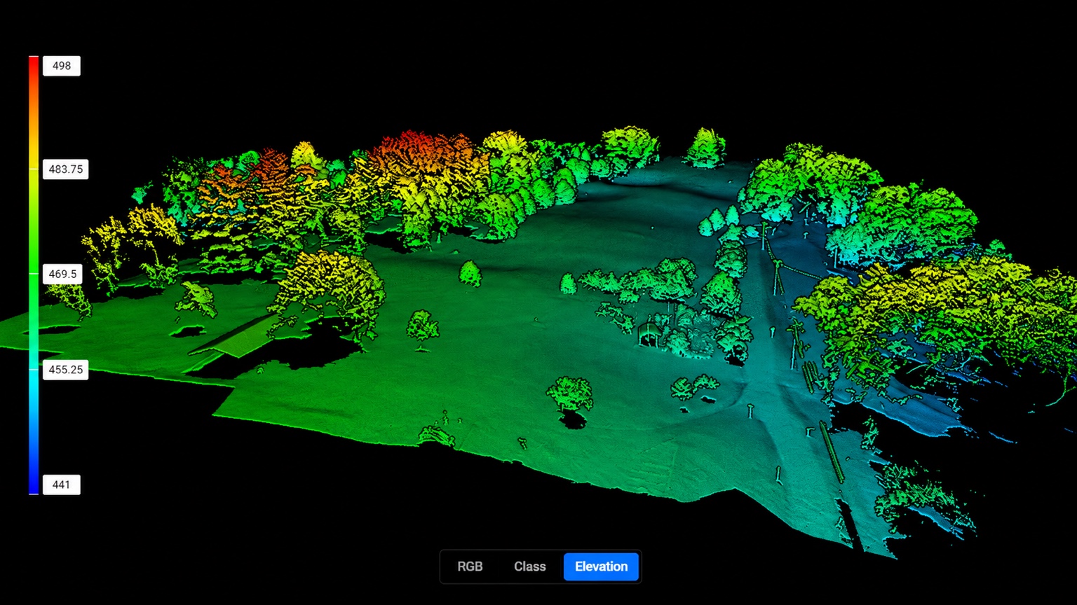
T-CAS demonstration · 3D elevation point cloud
Mapping, land & 3D
See the property in context.
Bring land, terrain and existing conditions into a clear visual picture for planning, presentations and project coordination.
- Orthomosaics and interactive property maps
- 3D models, point clouds and elevation views
- RTK aerial data collection
- Stockpile and volume analysis where appropriate
Mapping and measurement support does not replace licensed surveying or engineering.
Northeast Tennessee · Southwest VirginiaReturn to homepage ↗