
Training System C
Matrice 4E Field Operations System
The field discipline behind good data: D-RTK 3 base operations, FlightHub 2 mission planning, data custody, and terrain and altitude troubleshooting.
Courses 11–14: Matrice 4E + D-RTK 3 field operations, FlightHub 2 commercial mapping mission planning, drone data management from field to processing, and terrain-follow mapping and altitude troubleshooting.
- Base Setup
- RTK
- Plan
- Capture
- Custody
Combined individual-course value: $426 — you save $77 versus buying the 4 courses separately.
Want everything? The Complete Mastery System includes all 15 courses for $799 (introductory price).
Prelaunch: online checkout is not open yet. The complete 15-course Rev. 3 curriculum is written and finalized — join the launch list and we will email enrollment details, pricing confirmation, and availability the moment it opens.
4 Workflow Courses
What This System Includes
Courses are listed in the order we teach them. Each one ends with a required deliverable judged against written pass/fail release criteria.
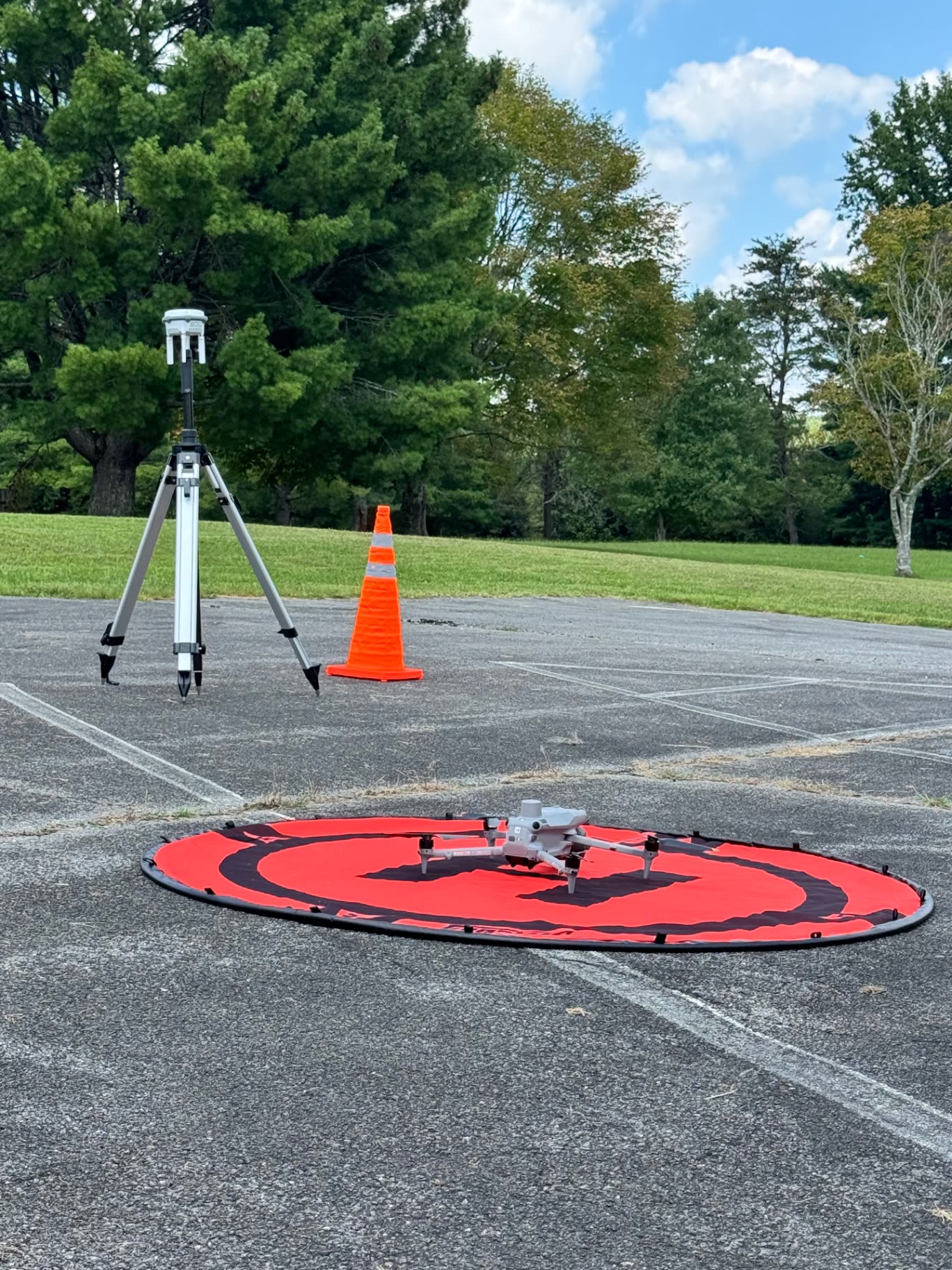
Matrice 4E + D-RTK 3 Field Operations
Run a disciplined D-RTK 3 field operation with a documented RTK FIX record.
View course Course 12$119 individuallyFlightHub 2 Commercial Mapping Mission Planning
Plan reusable FlightHub 2 Area Routes that capture complete data the first time.
View course Course 13$79 individuallyDrone Data Management: Field to Processing
Move mission data from card to processing with verified custody and backups.
View course Course 14$99 individuallyTerrain-Follow Mapping & Altitude Troubleshooting
Diagnose and correct the altitude-ceiling failures that block terrain-follow routes.
View courseWhat's Included
Course Materials
- Structured workflow training manual per course (Rev. 3 curriculum — written and finalized)
- Exact verified reference settings, separated from job-dependent decisions
- Printable field and processing checklists
- Hands-on competency assignment with pass/fail release criteria
- QA standard and finished-example reference
- Troubleshooting guide built from real failures
- Practice dataset where applicable and licensing allows
The complete 15-course Rev. 3 curriculum is written and finalized. Online delivery, downloads, and checkout are being set up now — course files are not downloadable today. Join the launch list and we will email you when enrollment opens.
Paid courses can include a TCAS Certificate of Completion. It is a course-completion credential documenting the workflow you finished and the deliverable you produced — it is not an FAA certificate, surveying license, engineering credential, or any regulatory or professional certification.
TCAS training is independent professional-development training and is not affiliated with or endorsed by the FAA, DJI, QGIS, Blender, Cesium, Apple, or other manufacturers, software providers, or professional licensing boards unless expressly stated. Completion does not grant an FAA certificate, surveying license, engineering credential, or other professional license.
An RTK FIX status alone is not proof of validated absolute accuracy. Projects that require survey-grade or control-based accuracy need appropriate ground control, independent validation, and licensed professionals where legally required. Students are taught to distinguish visualization and photogrammetry products from products that require validated survey control or licensed professional sign-off.